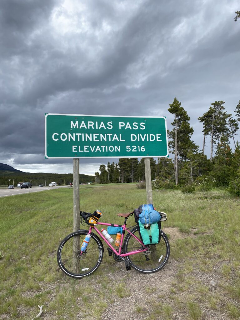
I rode over the (lowest point on) the Continental Divide!
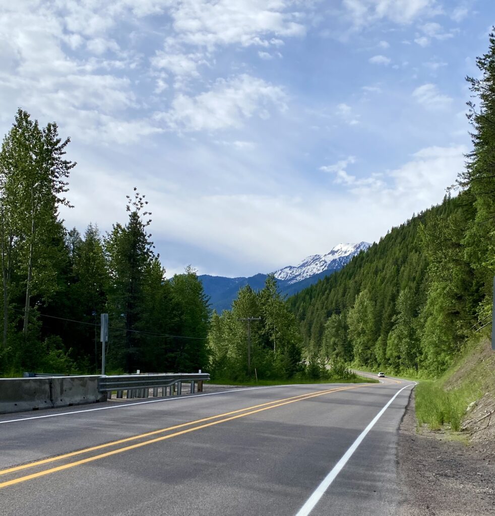
The ride from the fancy side of Glacier to the eastern side was attractive and heavily trafficked. I’m not sure if it’s always that busy or if it’s because Going to the Sun Road is closed, but it was pretty steady, with occasional minutes of respite. I thoroughly enjoyed what I suspect is my last water-feature-side snack break for quite a while. Sour Strips and a banana, yum.
Maria’s Pass, my last mountain pass until New Hampshire and Vermont, truly did sneak up on me. I’d been diligently tracking the mileage to the pass, but apparently I was six miles off. Or the maps or road signs were. But either way, suddenly I was there!
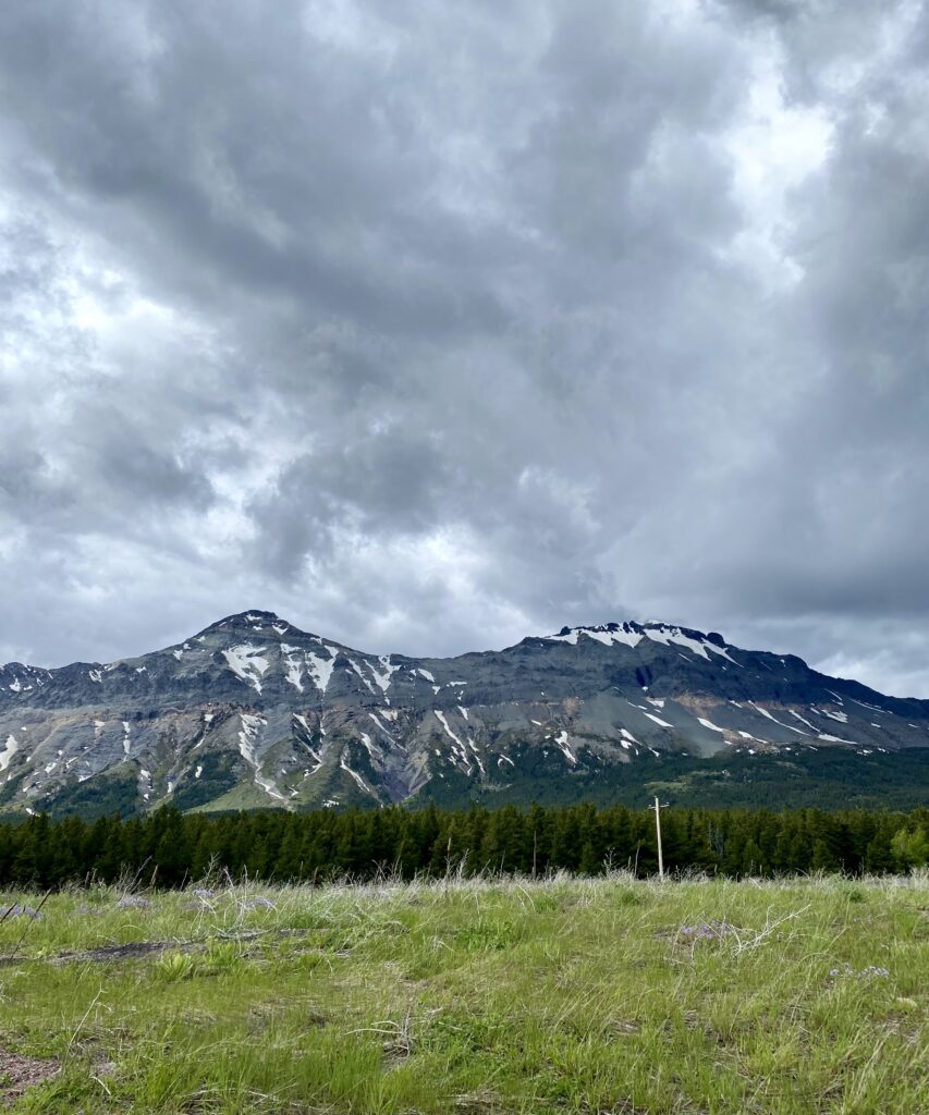
There wasn’t much down—I’m still high enough up that it’s cool through the whole day and I keep on my leggings—but it was lovely to know I’d made it through the western mountains. I mean, DAMN, I DID THAT.
East Glacier is depressing. It’s Blackfeet Indian country, as the faded sign announced, and it’s the last gasp of the Glacier commerce machine. Most businesses are shuttered; the only bar in town looked too shady to patronize, and the only restaurant had lines out the door. Friday night in East Glacier found me eating snacks for dinner accompanied by a PBR tallboy.
I used the wifi at Brownies’s Rustic Hostel to take care of some internet business, chatted with a west-to-east Northern Tier cyclist nearing the end of his trip, and headed to bed looking forward to being out of the Glacier orbit.
Western mountains…CHECK! You did the damn thang, girl! I’m so proud of you. xo
Aw man sorry the national park was such a bust, but WOOOO to the last pass!!
Hey Sara! It’s Linda’s friend, Sarah! I just finished reading through your journal! Wow! The pictures are amazing! You’re amazing! Brave, confident in your travels! I’m so glad to be able to follow your trip. 🙏 for a continued safe trip! ❤️
DAMN YOU DID THAT
❤️