Day 12. Dorr Skeels Campground to Koocanusa Marina & RV Park, 55 miles

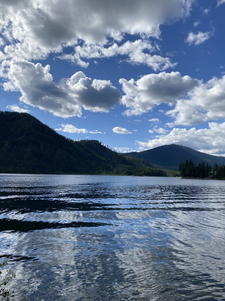
I woke up a little late on MY BIRTHDAY: slept in until 6 (!) after crashing out at 8:30. I greeted the morning overlooking Bull Lake, watching a duck trawl for tasty snacks (me too, duck buddy!).

ignore the awkward zoom please
this is what 46 looks like, apparently

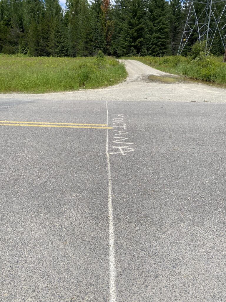
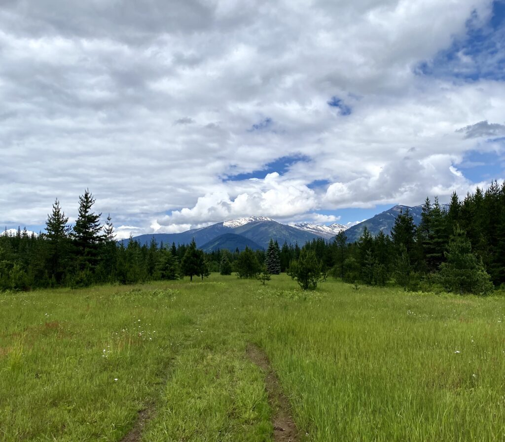
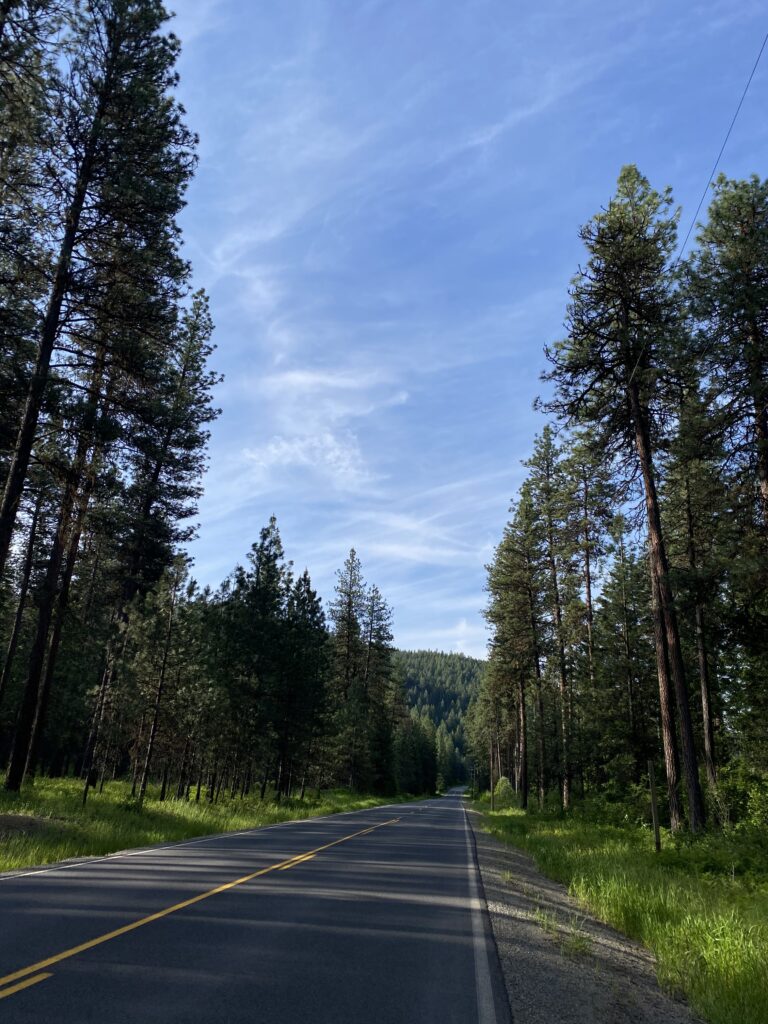
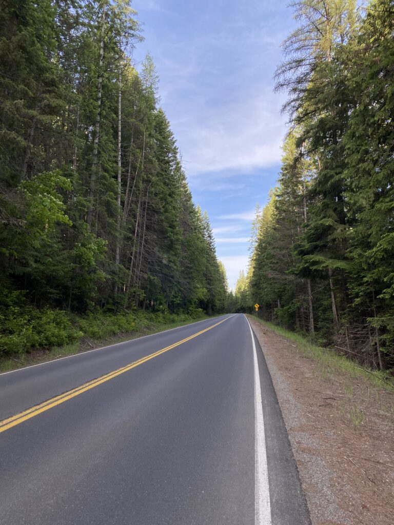
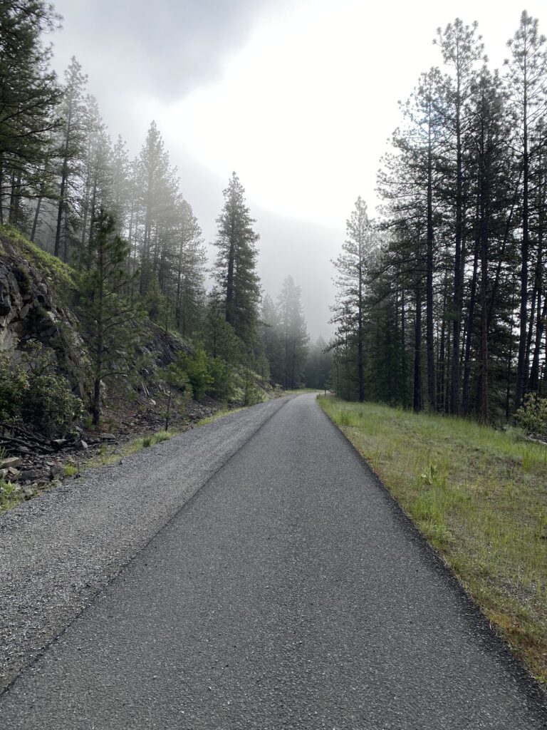
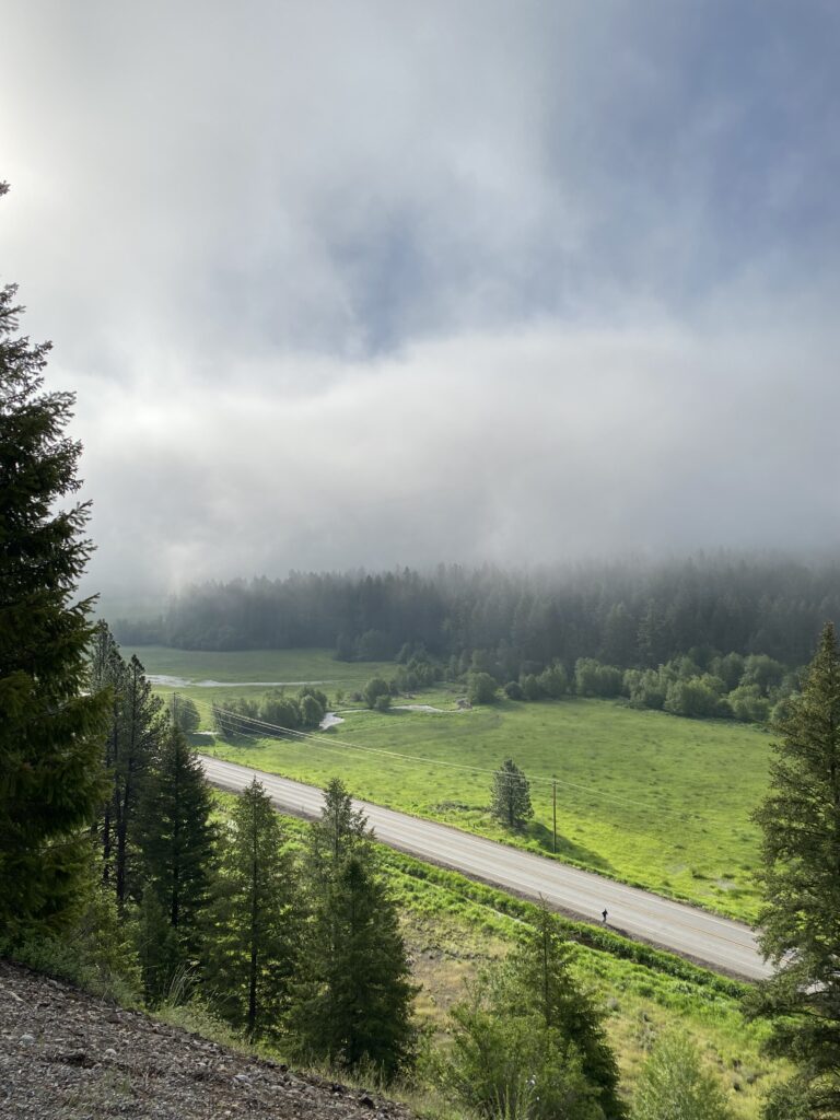
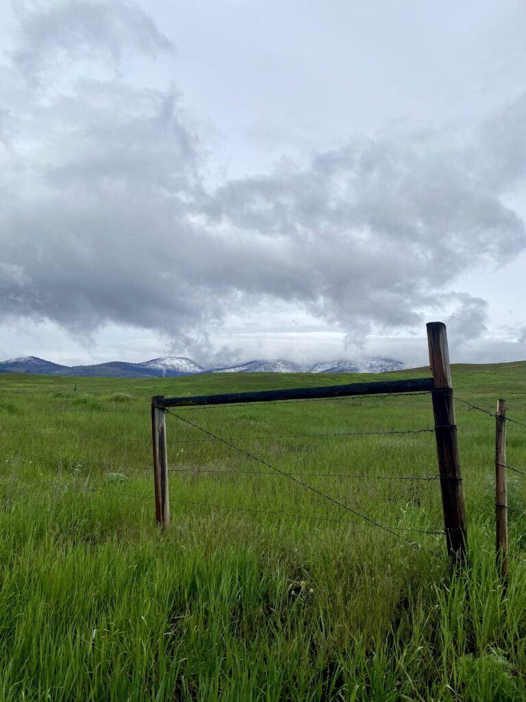
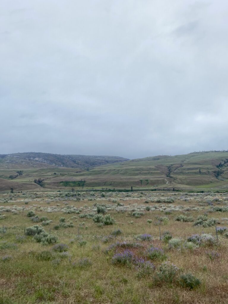
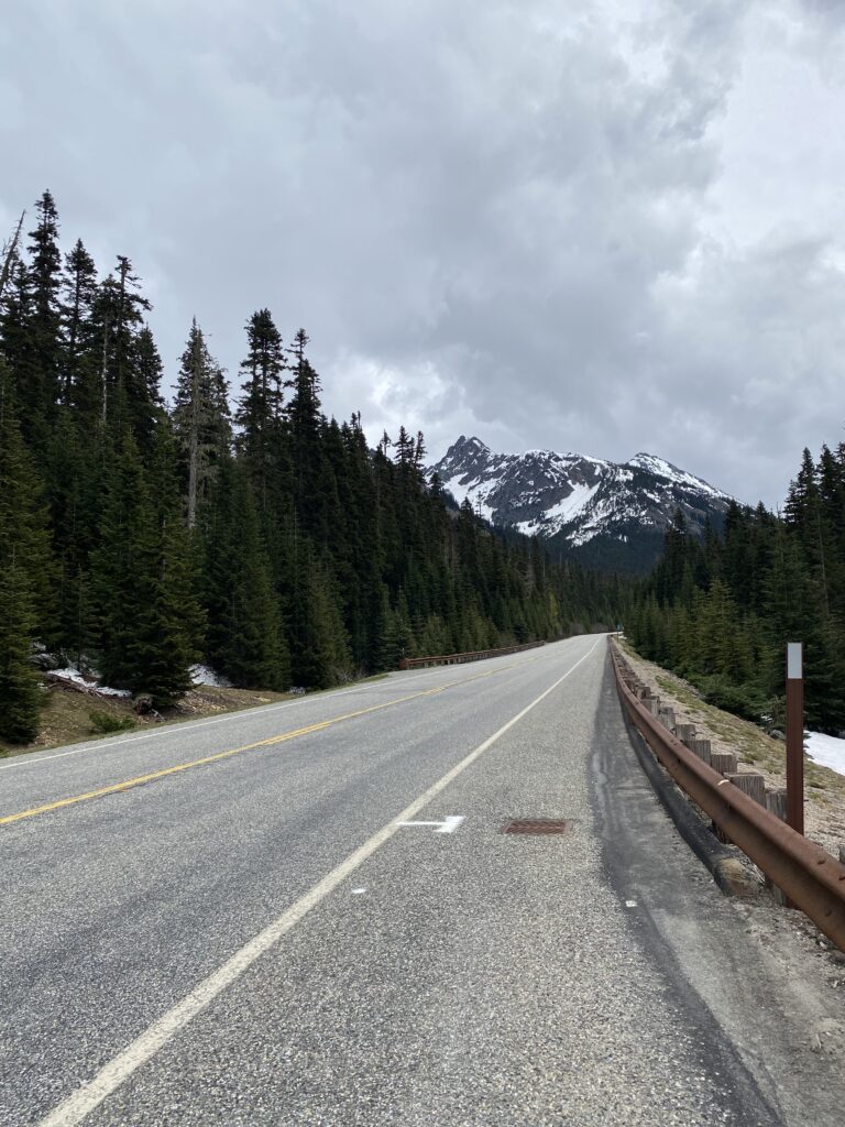
I got a beautiful, quiet morning of riding for my special day. Eastern Montana is just gorgeous so far: snow-capped peaks to the north, forested rolling mountains to the south, and me on some sweet, lightly trafficked, flat to rolling roads. The weather remains cool; even when it’s sunny, the air is chilly, and I find I don’t take off my leggings until early afternoon. This is some seriously pleasant riding weather.

my morning ride accompaniment

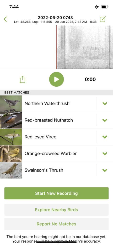
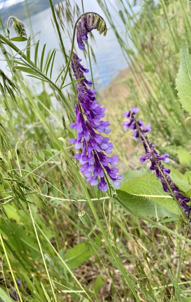
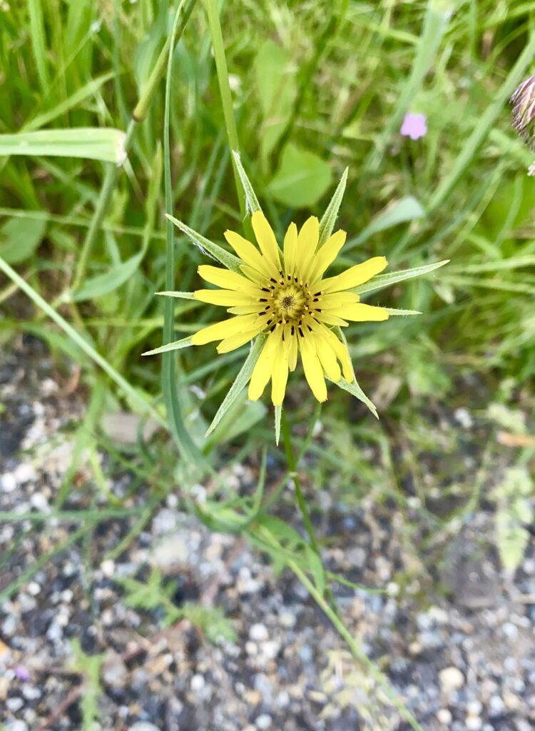
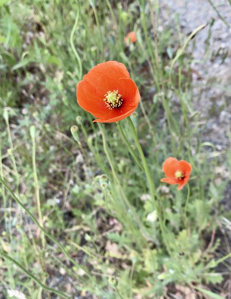
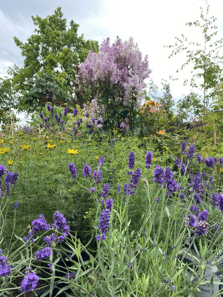
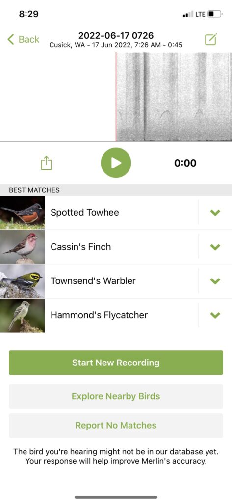
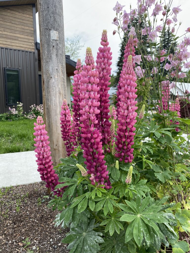
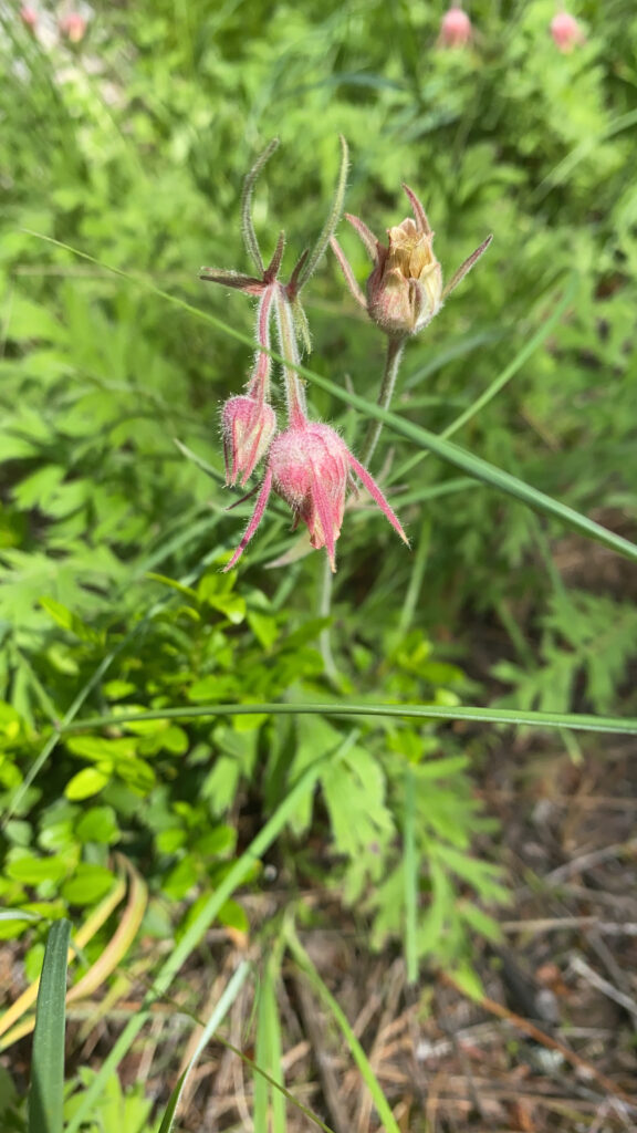
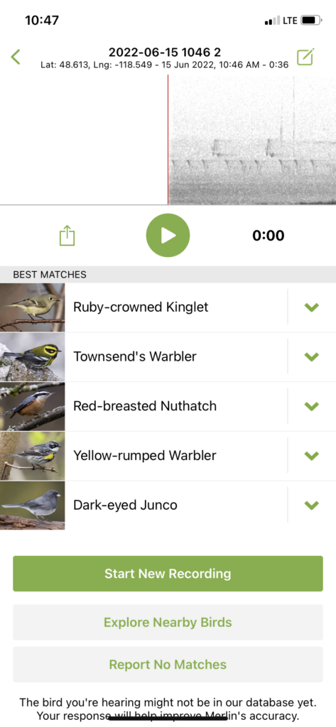
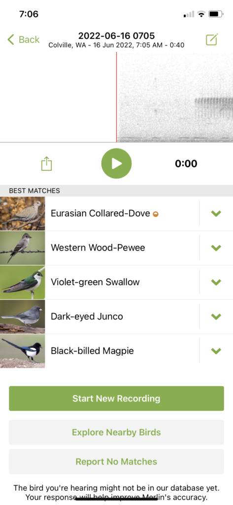
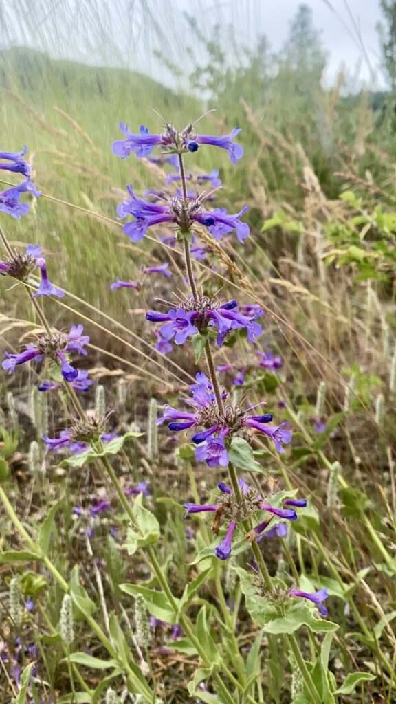
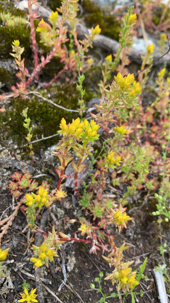
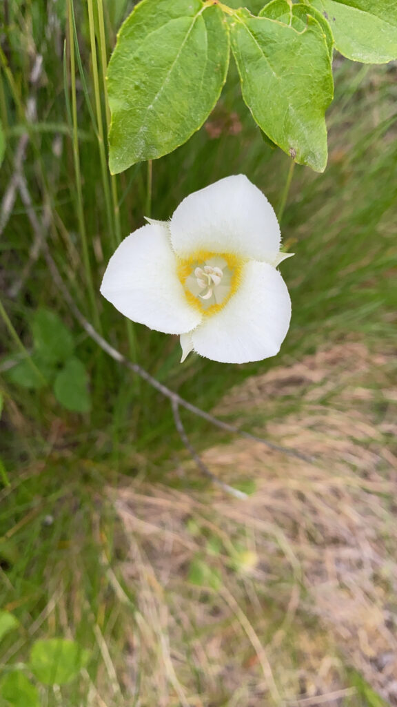
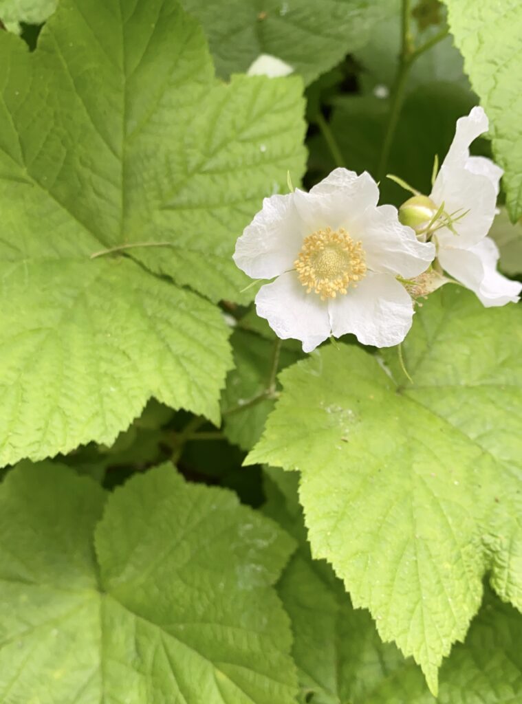
I think I’m starting to recognize one or two bird calls, which is satisfying. I’m picking up lots of western wildflowers for sure.

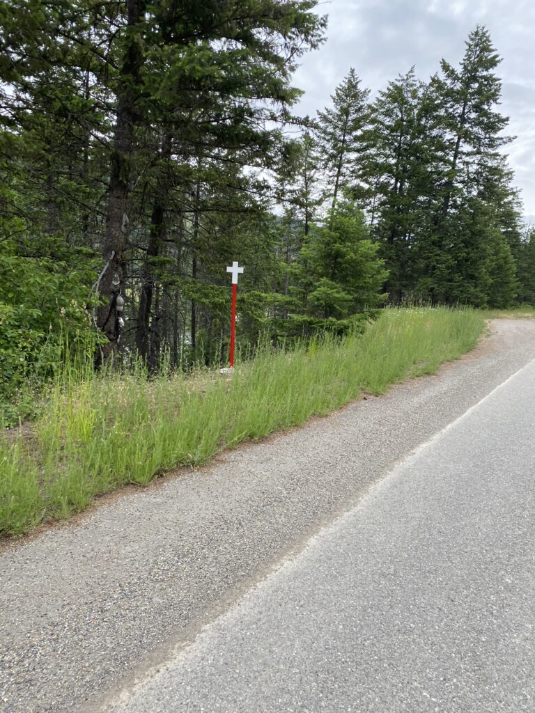
There are many white crosses on the side of the road since I got to MT. I’m not sure who installs them; they have no names, and most aren’t decorated, though some are festooned with silk flowers, signs, and small trinkets. I’ve seen singles, pairs, and in one heartbreaking instance, five, each individually and lovingly decorated.

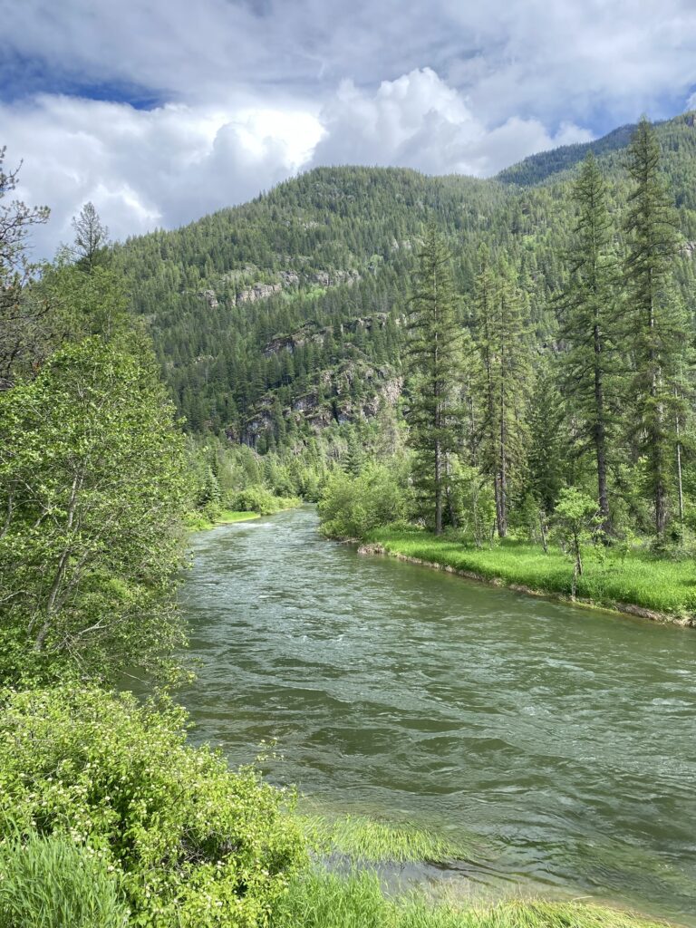
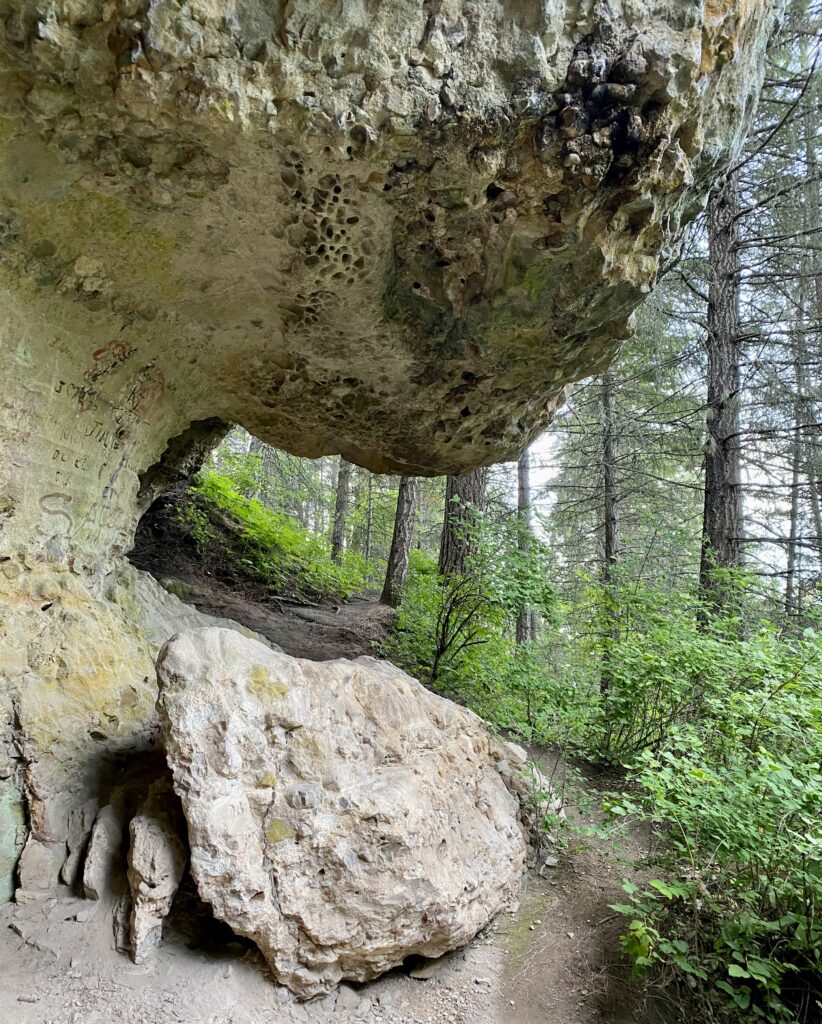
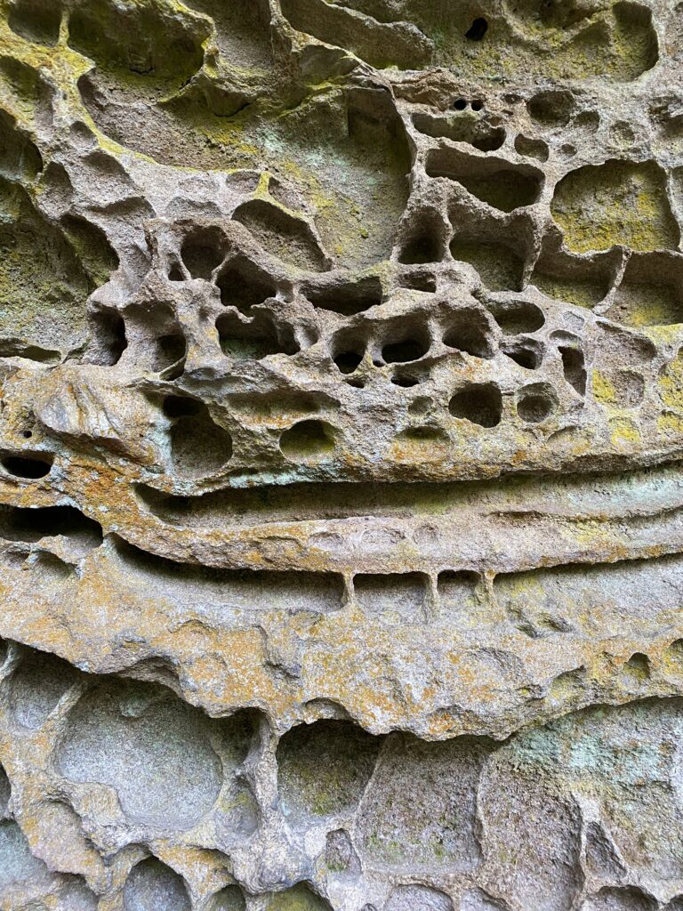
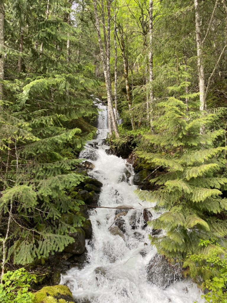
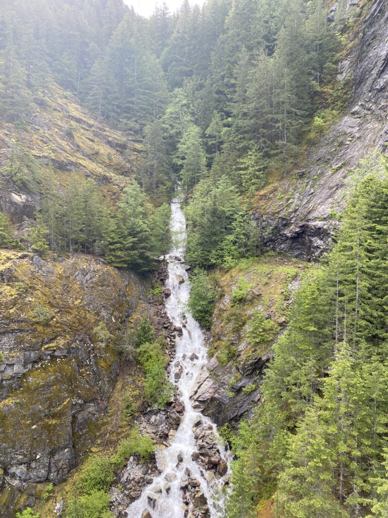
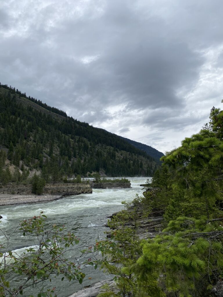
In the late morning I arrived at Kootenai Falls. The crowded-looking parking area turned me off, and I thought about passing it by, but a waterfall! I can’t pass up a good waterfall. I‘d be a fool. So I stashed my bike behind a sign and made the short hike–maybe 3/4 mile from the road. I skipped the swinging bridge attraction, instead making my way up the falls themselves. This turned out to be an excellent choice; the area was totally deserted, and I got to commune with the falls (i.e., stand around gawking) in total peace.

I love massive volumes of water rushing over rocks

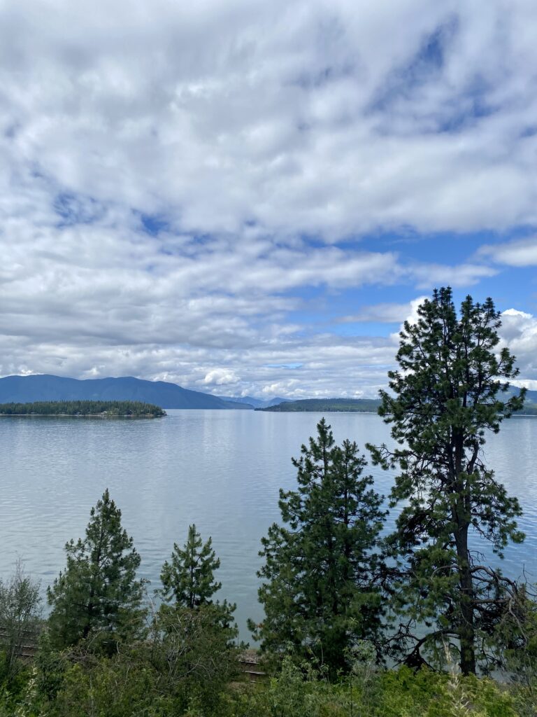
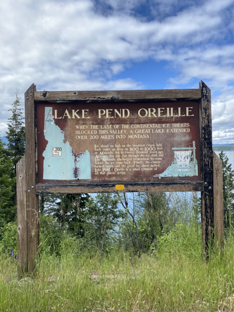
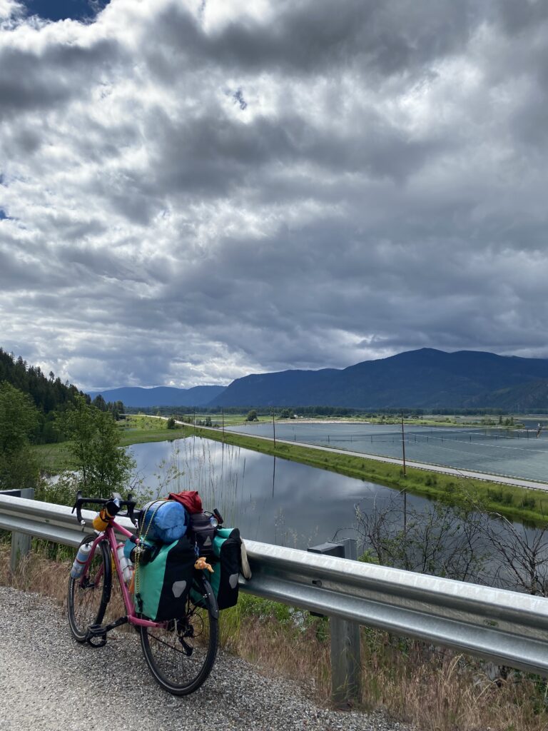
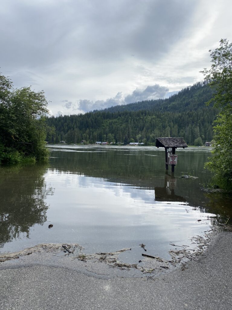
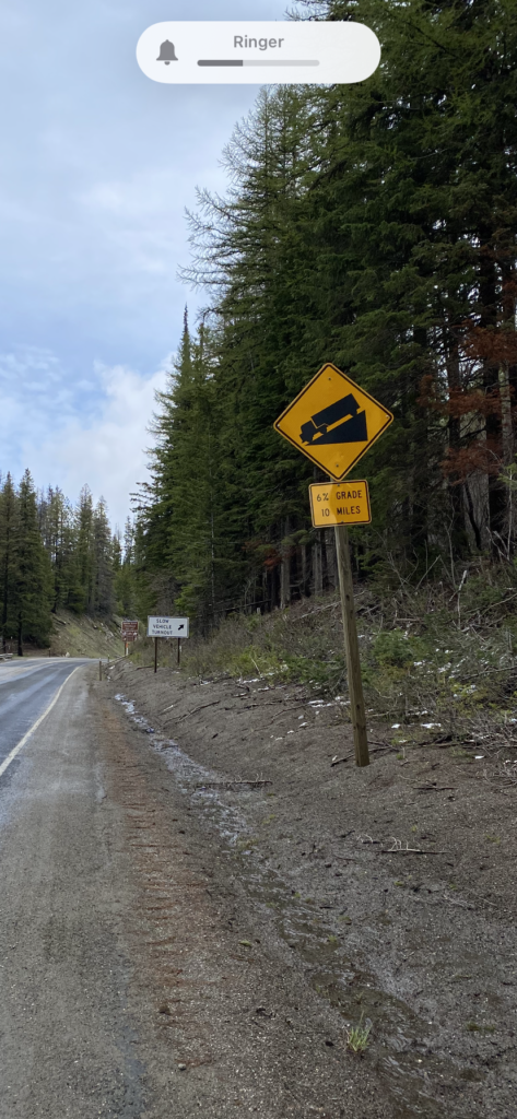
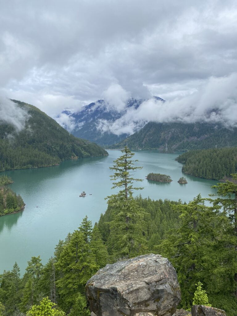
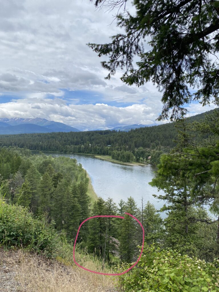
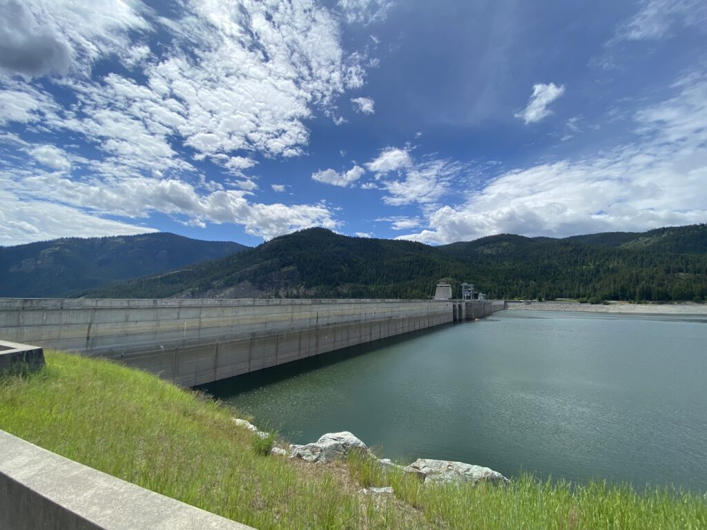
After leaving the town of Libby—very limited services next 63 miles, the map helpfully warns—I met up with Lake Koocanusa (KOOtenai, CANada, USA. Seriously.) and began riding north up it. Yes, I know north is not my primary direction; there’s a lot of going around things in the mountains, I’ve learned—none of your midwestern straight lines out here. Shortest distance between two points is NOT APPLICABLE. The climbing started again, with some steep babies as I approached and left behind the Libby Dam, a massive dam in the lower part of Lake Koocanusa.

those are the railroad tracks! I was down there with them like 10 minutes ago!
Libby Dam. The photo stinks because I can’t capture the whole massive thing in one shot.
somewhere above the dam

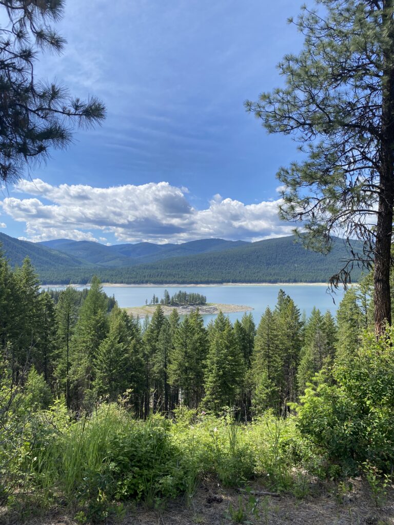
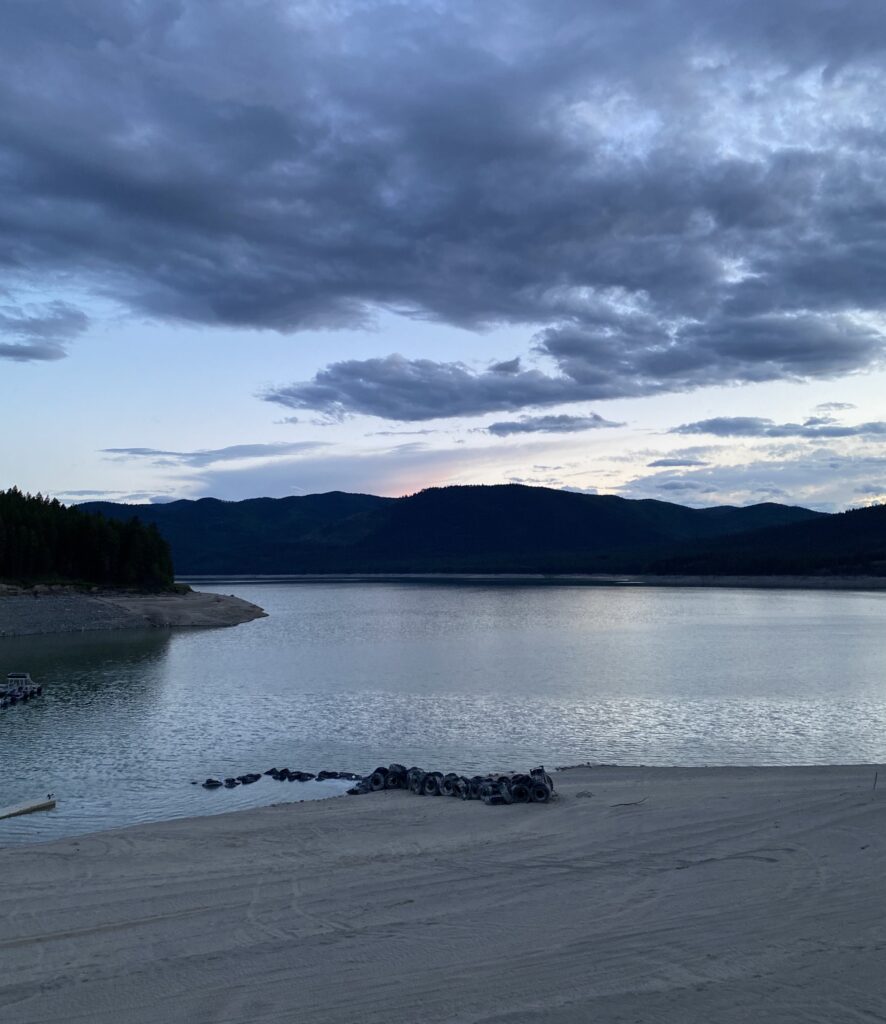
I’d thought to do a longer day to a USFS campground, which looked lovely but had no showers. The closer marina & RV park was sure to lack charm, but I wanted a birthday shower, so I decided to take the short day. This was 100% the correct decision. Koocanusa Marina & RV Park was tops and turned out to be something of an oasis in that 63-mile stretch of attractive but amenity-free road.

I was the only tent camper and so got a perfect site (in a totally separate area from the RVs, deserted but for me and the birds) overlooking the lake and a very short walk from the camp store, shower house, and … wait for it … bar and grill. A BAR AND GRILL. I had salad and a chicken sandwich with tater tots and a shot of tequila and a couple of Coronas. I sat for three hours and charged all my items and wrote a post and dashed off a few postcards and avoided getting in the conversations about politics that occasionally cropped up as (very few) people came and went. I stayed there until nearly 10! Birthday shenanigans.

I walked back to my tent, checked out this view from the site, and crashed out feeling great.

good night, Lake Koocanusa

Leave a comment

Your email address will not be published. Required fields are marked *

Day 11. Sandpoint, ID to Dorr Skeels Campground (outside Troy, MT), 70 miles

New day, new state! Welcome to Montana, folks. It’s a hands-off kind of state.

welcome to Montana?

It was hard saying goodbye to the Yorks this morning, as well as to Luna, who snuggled with me in the early hours of the morning, and Coco, who is perfect at being loved. But they fueled me up with a pizza dinner and great conversation, gave me route counsel and coffee (with COCOA in it, y’all!), and the morning’s riding was grand. I spent much of it near but above the railroad (yay!) looking out at Lake Pend Oreille, and life was good.

Eastern North Idaho is kind of a dream, riding-wise: beautiful views, quiet roads, cool weather. I don’t have a complaint to register. At some point I thought my phone was buzzing behind me, which was odd because it was in my bar bag with the volume on. Turns out it was a cow lowing.

The wildflowers have turned to hairy vetch (it looks prettier than it sounds—what is a vetch, even?), yellow salsifies, and long-headed poppy. Still largely yellow and purple, perpetuating the mystery first uncovered with Joyce while observing midwestern ditch weeds: why are most wildflowers purple, yellow, and white? Entertaining theories (and even facts!) in the comments.

Clark Fork was an excellent resupply stop, meeting all my needs from Cow Tales to apples to Jack Daniels. The town store even had a book exchange, and I wished I had an excuse to take advantage, but given that I’ve made it maybe 30 pages into my Kindle library loan I … didn’t. The 9 p.m. involuntary bedtime is real, y’all.

I was on mostly lightly trafficked roads today, generally flattish or rolling. I found myself for the most part unbothered by the slow top third of the up-rolls; the fact that I knew they’d be over quickly and not just lead to a switchback and more climbing made them wholly tolerable and even an enjoyable change of pace at times. (Enjoyable: maybe an exaggeration. Fine? Not hateful?) And for long stretches I found myself on the ”old highway”—generally above the water, railroad tracks, and new highway, and as such nearly entirely deserted.

I’m up here

Nothing on the elevation profile intimidated me (!!!!), so I took it slow, with lots of breaks to sit and contemplate the snow-capped peaks to the north and the forested rolling mountains to the south. And to shove snacks in my face: sour strips, bananas and Reeses Peanut Butter cups, and hot and spicy Cheez-Its were some of the selections du jour. Also string beans! Mom!

I love being around all this water–Pace Creek, Bull River–and I know I won’t have it for quite a while through the plains, so I’m getting while the getting is good.

Cabinet Mountains Wilderness

nice, right?

Dorr Skeels was a terrific USFS campground (despite the lack of showers, which is saying a lot!), with a site overlooking Bull Lake and only one other site occupied (by a hydrology student from Marquette, MI who inspected my set-up and pronounced it ”sick”).

campsite view

Today, I must say, was a good day.

Leave a comment

Your email address will not be published. Required fields are marked *

guest post from the site host

Hi, friends! There’s a new feature just added to this blog: email subscriptions. Waaaayyyyy at the bottom, you should now see a block that says “Sign up – get email alerts for new posts!” It does what it says. Thanks for the suggestion, Laura!

Leave a comment

Your email address will not be published. Required fields are marked *

Published
Categorized as Before

Day 10. Sandpoint, ID, rest day

Today I didn’t ride my bike. I woke up late … wait, nope, I woke up around 5 as usual. But I did lounge in bed, catch up on my posts, do laundry, and generally enjoy a slow morning, including some time with Luna, the Yorks’ cat, who has the best warbling meow

🖤🧡


Eventually I ambled to the farmers market in town, where I noshed on a delicious huckleberry bar, huckleberries apparently being a regional specialty. Sandpoint is an adorable place, pickup-truck-about-town with “TRUMP: TAKE AMERICA BACK” flag notwithstanding. I spent much of today walking around it, and it’s lovely: laid back vibe, manageable size, small businesses aplenty. I took a few items to the post office to mail home, chatted with my babe (hi Andrew!), and made my way toward the plant nursery where Kendall works.

Right across the street I caught sight of some squirrel-type markings, so I went over to check them out. Just as I was taking the last photo, a guy pulls up who clearly has more right to be there than I. I apologized and threw Emily under the bus, explaining that I was taking the photos for a friend who also loves squirrels, but that I would delete them if it bothered him. Thirty minutes later I walked away with a new friend in Sandpoint, one whose wife is a former librarian who now rescues and rehabilitates squirrels; he showed me pictures of a great blue heron in the pond in his back yard, which they had designated a wildlife habitat, complained about Chuck Grassley, and invited me to their yard for a tour if I was nearby.

squirrel cabin
squirrel building
squirrel camper

I saw Kendall’s wonderful workplace (it smells so good and everywhere you look it’s beautiful), and I met the world’s most affectionate cat.


all I did was sit on the ground (and coo like a fool), and this happened
and this

Kendall was liberated early to go to lunch with me, and then she took me on a drive around the Sandpoint area, including a gorgeous and fragrant hiking area called Pine Street Woods. She taught me a bit about the local pines and firs and picked me a few branches to smell. 💚 We parted ways reluctantly—such a fun reunion!—and then I headed back to the Yorks’.

The afternoon was perfect. I hung out with Judy, and Steve, who is a bike mechanic, looked over my bike and pronounced it in fine riding shape. Luna the cat and I had some quality time, and the I walked to the store to stock up on snacks and sneak in a last call with Andrew before reception gets spotty.

Judy and Steve invited me to share a pizza dinner with them, and we sat around talking politics (last time I encounter simpatico folks for a while, I’d guess), female urinary assist devices (conclusion: nope), and talking pets. We definitely watched each other’s pet videos, and it was grand. They are … amazing. I feel like I don’t ever feel want to stay at a Warm Showers place again because it could not possibly match this. I also feel inspired to be an excellent host when I return. This has been magical and refreshing, and I am ready to get back to the road with new energy. Montana, baby!

Leave a comment

Your email address will not be published. Required fields are marked *

Day 9. Panhandle Campground to Sandpoint, WA, 70 miles

What a great day.

I brushed my teeth at the edge of the river and watched an eagle make morning rounds over the bank. Better view than my bathroom mirror, including a notable absence of toothpaste spatter.

The morning’s riding was A++. It was cool and sunny at my 6:30 start, with the road mostly flat as it ran along the Pend Oreille river, sometimes swelling up into the woods above it. I’ve been trying to attend to Kurt Vonnegut’s exhortation to remark, when occasioned, “well if this isn’t nice, I don’t know what is,” as a form of gratitude. And I have had several occasions on which to dorkily say that out loud so far (once on video, never to be viewed), at least a couple of them this morning. Probably I also had a tailwind; that’s what they feel like.

some new bird friends
I couldn’t not stop at this roadside attraction, with its oddly-worded sign
grotto within

There were some very cool rock formations and the entrance to the promised grotto, but I decided not to try verifying its beauty because I was alone, and it was dark and slippery-looking. I choose to believe.

Truly going south along the Pend Oreille will remain some of my favorite riding of the trip. LeClerc Road FTW! I crossed the river at Usk for a hot minute to stock up on snacks at the gas station across the bridge, then popped right back to the other side for more super chill river riding.

My ride took me through the Kalispel Reservation, which was beautiful and lush. A little Googling tells me the Lower Kalispel reservation is on the tribe’s homeland, though its 4600 acres is a paltry sliver of their original territory and has proven resistant to cultivation.

fans

Idaho greeted me roughly, not just because I was turning east, away from the tailwind and the river, but because the rudely steep incline it welcomed me with was on the busiest road I’d seen in a while with a terrible/no shoulder. People were mostly polite, but one lady yelled at me. MEAN.

I was actually hot! And had to apply sunscreen to more than my face! I had almost forgotten what it was like to sweat while not moving. Practice for the plains, but with a shade handicap I will not have.

The riding turned lovely again, and I practically glided through Sagle into Sandpoint on a roadside bike trail that led to a WHOLE DANG BRIDGE across Lake Pend Oreille just for pedestrians and cyclists. I think the footbridge must be the old car bridge, but I kept getting alarmed by the ample room and thinking I must be in the wrong place and a car was going to smoosh me.

see what I mean?

And then! With rain threatening (pure bluster, it turned out), I arrived at the end of NT map 1 and the ludicrously charming, cozy, and welcoming house of my Warm Showers hosts, Steve and Judy. I’ll spend a rest day here with them and their perfect pets (more photos to come duh) before heading to Montana.

back deck
Coco. She is A Good Dog.

Had an absolutely wonderful visit with Kendall, who took me out to dinner and gave me a walking tour of Sandpoint, from art walk to beach to ice cream (bourbon honeycomb yes please). It was a joy, and I’m looking forward to visiting her at the plant nursery where she works tomorrow. Expect many flower photos.

❤️💕❤️

Postscript: I forgot to share this video from the other day of an adorable passel (actually called a surfeit!) of skunks crossing the road.

this looks to me like exactly the right number of skunklets

Leave a comment

Your email address will not be published. Required fields are marked *

Day 8. Outside Colville, WA to Panhandle Campground, 57 miles

Today started, as I knew it would, with the rest of the climb out of Colville, my last real climb for a couple of days. It took me a good while to get through those 20-something miles of making my way up 2000 feet or so, but after that it truly was, in the words of Googlemaps, mostly flat. Which means sometimes it was not, but truly it sometimes was. I found myself confused and almost irritated by those times, unsure whether or how to shift. Like, are we going up or down, guys?? What’s the deal?

A bit of a headwind kept me from pure, flatland elation, but it was some real nice riding along the Pend Oreille River. Which, like everywhere else, is running high and flooding in several spots. One of those is the boat launch at my evening’s campground.

look at these enormous worms! I think they are stranded by receding flood waters

The good spirits are helped along by the fact that today was my first dry, warm day. I dropped the leggings and then Smartwool, switching to shorts and a sunshirt (h/t Joyce) late morning. I even risked putting the rain pants in my pannier! And it was a beautiful day. Not too hot, not chilly even on the downhills. ❤️

oh look, another beautiful waterfall
“Your willingness to minimize noise is greatly appreciated.”

This evening’s campground is great, and though every site is reserved for the weekend, I had my pick of sites for tonight and chose a wooded one from which I can see the river.

making the place homey

No shower or electric, but I have wipes and a power block, and I am enjoying being back outside to sleep again. And it’s my last night in Washington State! Tomorrow onward to Idaho for a rest day in Sandpoint with some cool-sounding Warm Showers hosts (who have a cat and a dog!) and hopefully dinner with a childhood camp friend, Kendall.

just some campground view
Prairie Smoke
tempting
the day started with a couple of chilly, beautiful miles on the Tiger Trail
view from the trail
I *love* being near railroad tracks—such good grading!

Leave a comment

Your email address will not be published. Required fields are marked *

Day 7. Republic, WA to Colville, WA, 62 miles

Another day, another mountain. Today I climbed Sherman Pass, which, at 5575 feet, is my highest point of the trip so far. (I thought that was Washington Pass, but it may simply have been more feet of climbing—I started today around 2000 feet, so it was “only” about 3600 feet to the pass.) I know now I can climb mountains, but turns out I’d still prefer not to, at least not five in four days. Not that the road cares one whit for my preferences, one of the lessons of bike tour.

White Mountain Fire Overlook on the way up

It was an unceremonious greeting at the top: before I even crested I was warned about the downhill grade.

can I get to the top before I start worrying about the downhill, y’all?
cresting…

There was a group of Harley Davidson guys at the top taking a break and snapping photos; as I rolled up they were all looking at me, and I said “well shit, I made it,” and they busted out laughing. I offered to take a group photo, and they took mine, and we chatted a bit. I got the usual “do you carry a gun?” question, but when they heard I was from Chicago (mumbles of “oh, gangsters”), they stopped worrying because that means “she can handle anything.”

a lady from Chicago who can handle anything

Then they left, and I suited up for the downhill. Going up and down mountains means changing your clothes a lot, I’ve learned. I layered and de-layered multiple times in the course of the day, from sweating in a tee and bike shorts to shivering in my hat, gloves, and two sets of toe warmers.

I’ve been hearing myriad birds and trying my best to record and ID them; it’s my goal to start matching up the Merlin IDs with sightings so I actually know what birds I’m seeing. Below are a few I’ve heard (and some I’ve seen).

Aside from many lovely views today, one of the coolest things I saw was this heritage site about Roosevelt’s Civilian Conservation Corps, which had a boys’ camp in Colville National Forest from 1934-43. I hung out there for a while to warm up after the descent down Sherman Pass.

I stayed a few miles past Colville (a few hideously-graded, hilly miles that made me SO MAD) at a bikers-only spot, Bacon’s Bike Hostel. It was free and convenient, and the shower and bed were much appreciated, but the place smelled sour and I woke to the sound of critters in the wall. I did learn from the guest book that there are at least two sets of Northern Tier riders a day ahead of me, and I am apparently VERY lucky weather-wise: they have had consistent rain, as well as snow at 38 degrees on Sherman Pass.

Onward to the (temporarily, briefly) less mountainous lands, once I finish climbing out of the Colville area tomorrow.

Leave a comment

Your email address will not be published. Required fields are marked *

Day 6. Tonasket, WA to Republic, WA, 40 miles

I’m going to lead with the fact that 27 of today’s 40 miles were climbing, and the first four hours featured steady rain. Not heavy rain, but rain in all its wetness. It was hard.

Now a little more about yesterday. The ride through the reservation was beautiful, but also depressing. While discarded roadside cans and bottles are a constant, enraging feature of the American landscape, the road through the Colville Reservation was even more densely littered than usual. Sometimes you see cans people tossed out the window as they rode by, but other times it’s clear someone(s) just sat in a car by the side of the road and drank. The latter was the case here. The remnants of sixes of Coors Light, the cardboard caddy still in the bag on the ground, were strewn for miles in clusters often only feet apart. The occasional mini Fireball bottle made appearances as well. (Elsewhere on the road earlier in the day, Twisted Tea was a popular choice, and mini Fireballs never go out of style.) There was a correspondingly-large number of handmade roadside shrines: painted rocks with the name of the deceased, fake flowers, crosses. It was hideously sad. I also got chased by two dogs who made it out of their yards. One was a ridiculous moppet of a thing that I admonished not to be in the road, but the second was a large dog that slipped a lousy fence and ran next to me barking until I sped up enough to tire him.

The roads were generally very lightly trafficked; often I was the only show in town for miles, and the red-winged blackbirds would get irritated at my presence. Speaking of which! I’ve been using Seek for plants and Merlin for birds, and it’s been real fun. The main flowering ditch weeds I’ve seen are lupine, wild columbine, valerian, Indian paintbrush, and something called Davidson’s penstemon. I’ve heard pine siskins and tufted titmice and red-breasted nuthatches. And oh my lord today I rousted an eagle roadside, and as it took off I got as close as I ever will come to one, I suspect. It was massive and intimidating. It flew into a tree above me, a terrible photo of which I share here.

I have not been listening to anything so far, other than the theme song to “Cheers” involuntarily inside my head. You may wonder how I pass the time. I offer, in explanation, a study on guardrails. I have learned through observation that there is a hierarchy of guardrails. At the top of the guardrail food chain is an iteration of the basic design you’re familiar with: a corrugated galvanized steel rail bolted to posts. The best version has galvanized steel posts and a hard rubber block between the rail and the post; the rail is bolted through the block and into the post, one bolt dead center alternating with five bolts in an X. Second to that is the same design, but with wood posts and blocks. Still good! And the most common one I’ve seen. It’s a rapid downhill slide after that, double meaning intended. There’s the version with the wooden posts and only the one bolt in every post. It’s more a nod in the direction of a guardrail than anything else. Then there’s my least favorite: just a concrete lip the height of a city curb that I suppose tells you you’re about to go over the side of the road but that’s also a terror to a cyclist. And lastly there’s the no-barrier version, just some flimsy brown plastic markers with reflective tape on the top. Many are broken. Guardrails, folks.

I’ve been fortunate in the snack department; a photo of this morning’s haul shows a typical mix of salty and sweet, fatty and simple sugar, crunchy and chewy. Fun surprise find: watermelon-chili rings. I also eat yogurt, apples, bananas, jerky, and hard-boiled eggs, mom!

Okay, to today. I climbed a lot in the chilly rain and did not love it. And I have another mountain tomorrow. But I’ve learned to love my granny gear (loud shout-out to Steve, who fielded a repair call on my second morning to get my granny gear back in shifting order before the climbing started for real—I would be dead in the water otherwise!), which did not used to be the case. I prefer to beast my way through hills, straining in my middle gear to get to the top and get it over with as quickly as possible. Joyce has always been better at slow and steady. But these are mountains, and I can’t beast them; slow and steady in my lowest gear is how I live now. Maybe I’ll learn some patience.

Anyway, I arrived in Republic, got a motel room (again: no good camping options!), went to dinner, and wandered the town in the suddenly sunny and gorgeous evening, and the difficulty of today was over.

view from some way up the mountain
fun fact: named for Wauconda, IL
see?
Republic
Republic graffito
part one of a mural depicting progress (?) in Republic
part two …

Leave a comment

Your email address will not be published. Required fields are marked *

Day 5. Winthrop, WA to Tonasket, WA, 72 miles

I‘m feeling good and hitting my stride; the nerves have receded, thanks in large part to making Washington Pass yesterday. Today featured another pass in the morning, Loup Loup Pass, at 4020 feet. The Methow Valley was beautiful, but the thing about a valley is eventually you gotta climb out it. And I did! It was different from yesterday, which had a lot of tough, steeper sections. This was just 10 miles of solid, constant climbing at about a 4-6% grade. (Joyce, it was a little like the Elroy-Sparta trail, but more.) Totally manageable, but wearing.

Then it was seven miles downhill at a 6% grade (chilly even with a jacket, gloves, and hat), ending at the bottom of an enormous half-mile hill, followed by some normal-ass riding, and then four more miles down at 5%. And now you know all about my hills.

Then I was in the Colville Reservation, down in the valley. Flatter, warmer, less recreational traffic, more farmland. There were ups and downs, but gentler, and the landscape was brown and grey-green and purple and soft.

I wasn’t done riding when I got to my intended destination for the evening, Riverside, so I rode on to Tonasket, a town that appears mostly to host highway repair crews working in the area. There’s decent-sized Mexican population, enough that my dinner from Pablo’s taco truck was delicious and muy autentico. I couldn’t confirm the existence of a campground, so I am shacked up for the evening at a motel conveniently attached to a 24-hour convenience store. Expect snack news.

Leave a comment

Your email address will not be published. Required fields are marked *

Day 4. Colonial Creek Campground to Winthrop, WA, 65 miles

I climbed a damn mountain! Today is the day I’ve most feared since I started planning this trip: two passes, one of them at nearly 5500 feet, just four days into the ride. And it was indeed hard. And slow. Today’s 65 miles took me 10.5 hours (including stops); in contrast, 75 miles to the Indiana Dunes recently took me eight hours, albeit with a stiff tailwind. Which I also had today! It was a lovely gift, and, along with the cooler weather, eased the pain of the climbing.

And I climbed. Thirty-plus miles of climbing, starting with a brutal two-mile hill right out of the campground. It did boost my confidence when, on a tent-drying break, I met two guys in spandex who told me they were averaging just under 13 mph. I was at, like, 5. But fully loaded!

There were dozens of lovely personal-sized (and several industrial-sized) waterfalls along the way. It is damp and lush and green, and I am here for it.

I was sort of hoping the first pass, Rainy Pass, would sneak up on me, like, whoops, you did it! But my device let me know it was coming, I guess because it was a major landmark.

it says ”Picnic Area” under Rainy Pass, but the snowbank is blocking the words
found an unopened beer in the snowbank, drank (a couples gulps of) it because thanks, universe

Then I kept climbing, and surprise: Washington Pass, at 5477 feet, *did* sneak up on me. What! No warning (I mean, aside from all the dang climbing) and suddenly I was there, the highest pass of the trip. [Editor note: This actually turned out not to be true. Sherman Pass was higher, but entailed less climbing because I started out higher.]

the overlook is closed for snow, but this Canada Jay serenaded me the whole time I was there
at the top of Washington Pass
at the end of the day

I have no idea how accurate the elevation and max speed are—I’ve read elevation can be off, and I often experience the speed as inaccurate, but, dear reader, those roughly 4000 feet of descent were terrifying. I rode my brakes the whole way down, sometimes alternating hands to give one a rest.

And then, after a brief but intense squall that soaked me completely, it was 30 miles to Winthrop, where I got the whole adorable North Cascades Mountain Hostel to myself and did laundry and had a BLT and beer in a saloon in this Western-themed tourist town.


oh
oh!
OH!
top of the brutal climb out of the campground

Leave a comment

Your email address will not be published. Required fields are marked *