Day 17. East Glacier to Cut Bank, 48 miles

Today started rough, emotionally speaking; with the return of cell phone service came the news out of SCOTUS, and I felt angry and powerless and scared for the future. It didn’t help to be in a place where I couldn’t talk to people about it, where I could assume most people don’t share my feelings. That sat heavily with me for much of the morning, still does.

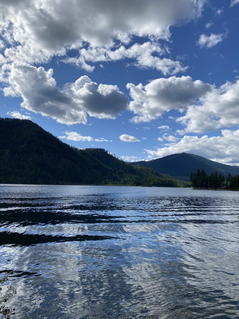
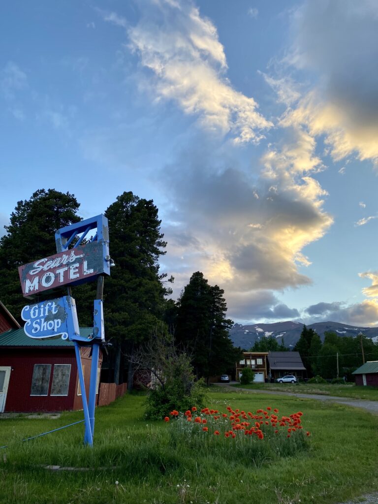
But the wheels roll on eastward. I departed East Glacier with this last look at the town.

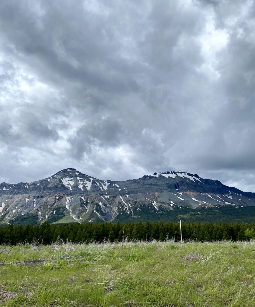
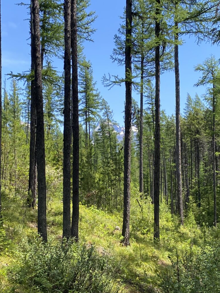
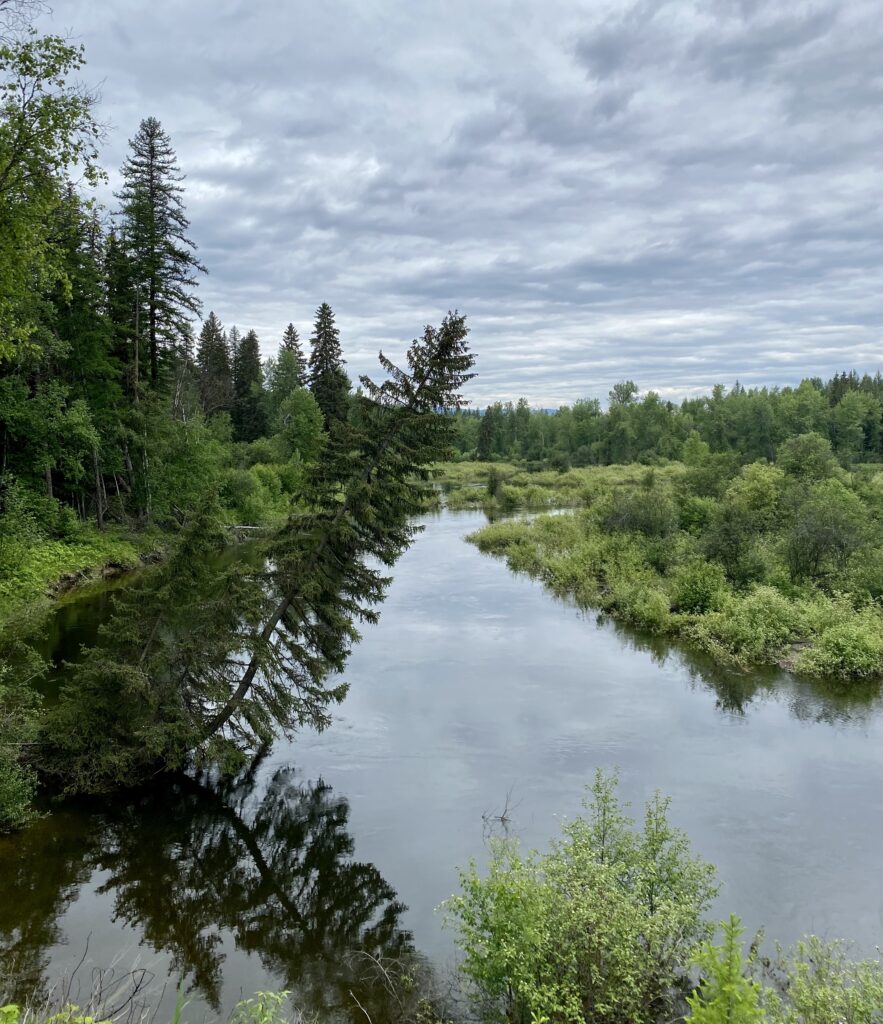
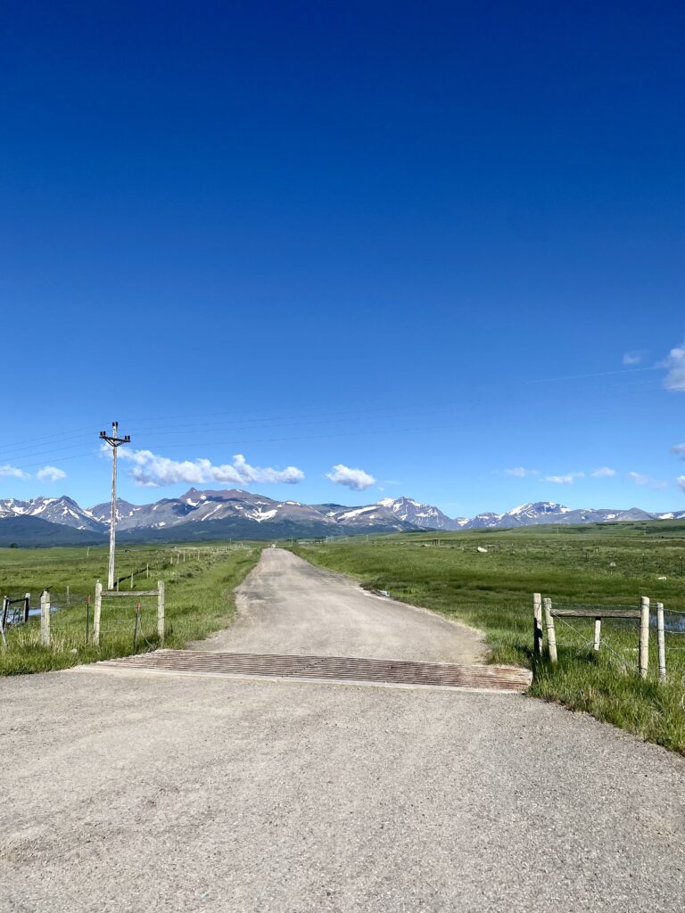
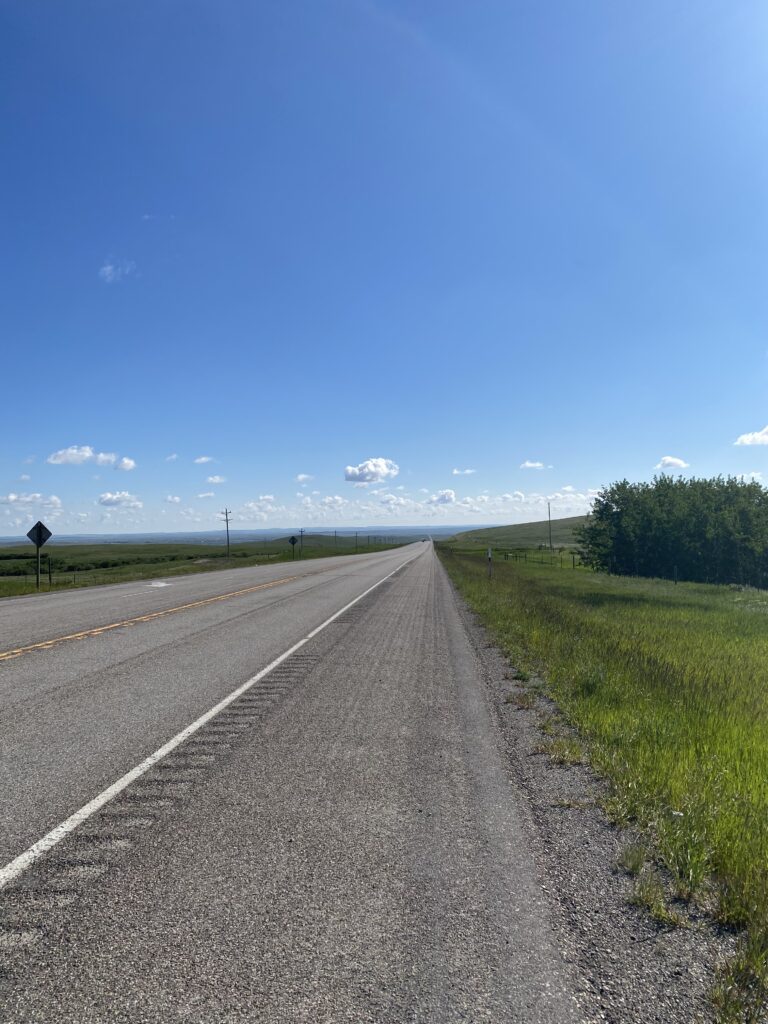
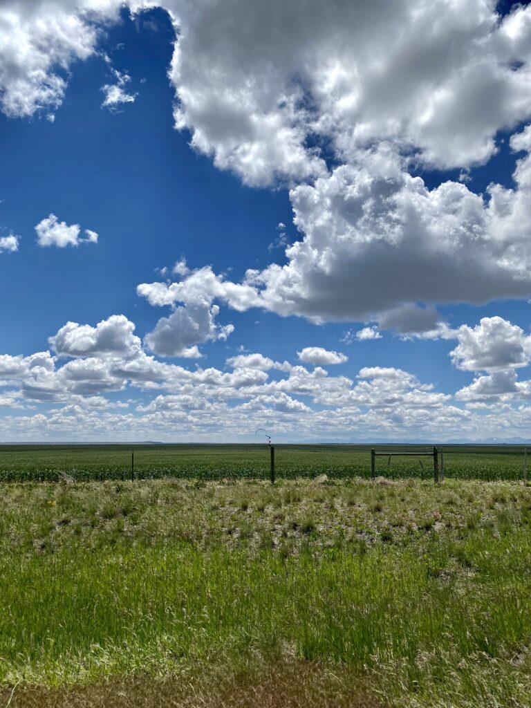
And just like that, I’m in the plains. It’s disconcerting how abrupt the transition is: one minute rushing water and dense tree cover and the next wide open skies. All of a sudden I can see the road for miles, see the far horizon, like an opening up of the landscape. It’s a little disorienting after two weeks in the tightly contained mountain world. There go the trees! Full sun by 7:30 a.m., and I’m shedding layers every quarter mile. At first it seems like the traffic will never cease, like I’ll always be listening to the roar and whiz of cars and trucks and campers, but past Browning the traffic fell off sharply: no logging trucks because no trees, no recreational vehicles because no recreation.

behind me to the west
ahead of me to the east

The freight trains are my new companion, now that I’m back near the railroad tracks (for the most part—more on that later). I don’t mind them at all; they break up the landscape, and I love seeing all the showcase graffiti on the cars and wondering where it was done. The below isn’t the finest illustration, but I’m not always in the best position to stop.

that last guy really maybe needs to work on style

Quick PSA for those who don’t already know: don’t let anyone tell you the plains are flat. They roll. The road is just straight east here, none of this frivolous going around things. We barrel through and over, and sometimes that means long rolling hills. I can hang with it by now, but that doesn’t mean it ain’t work.

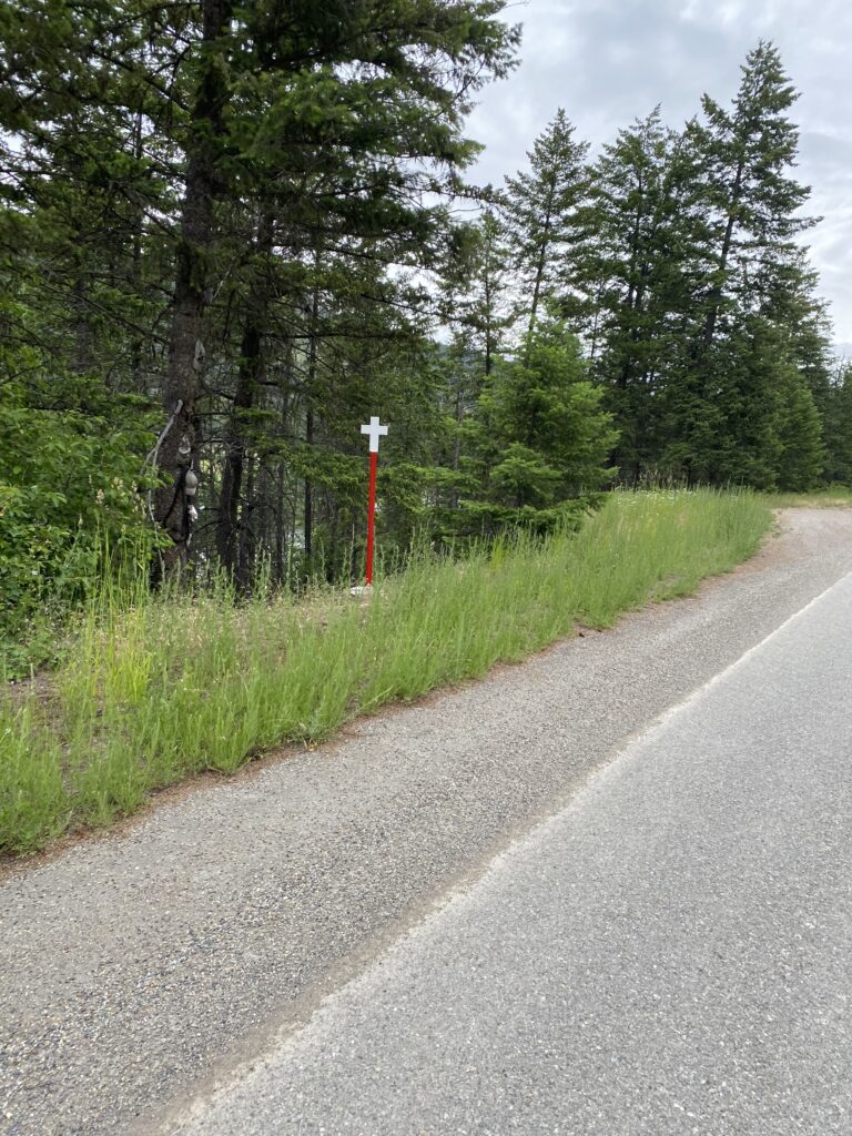
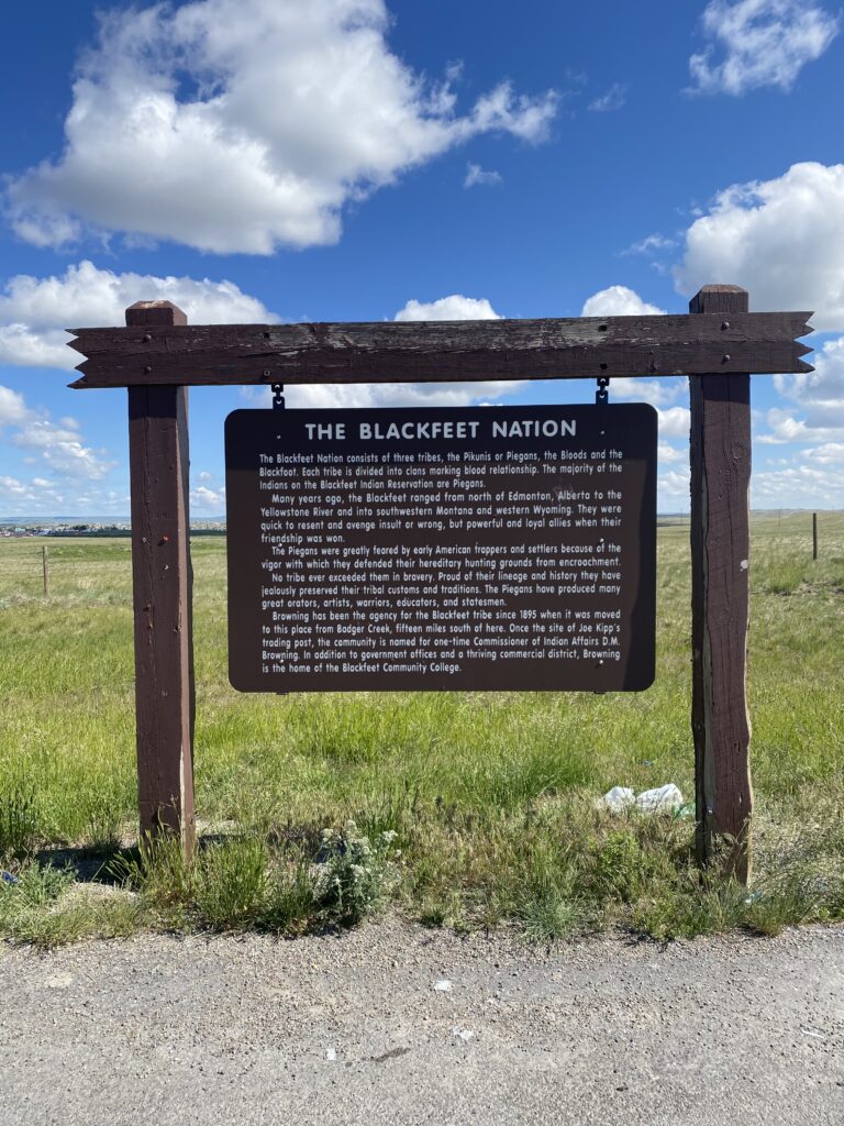
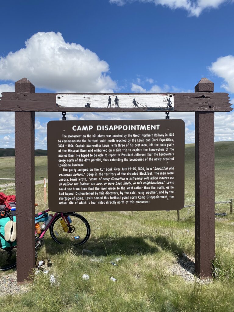
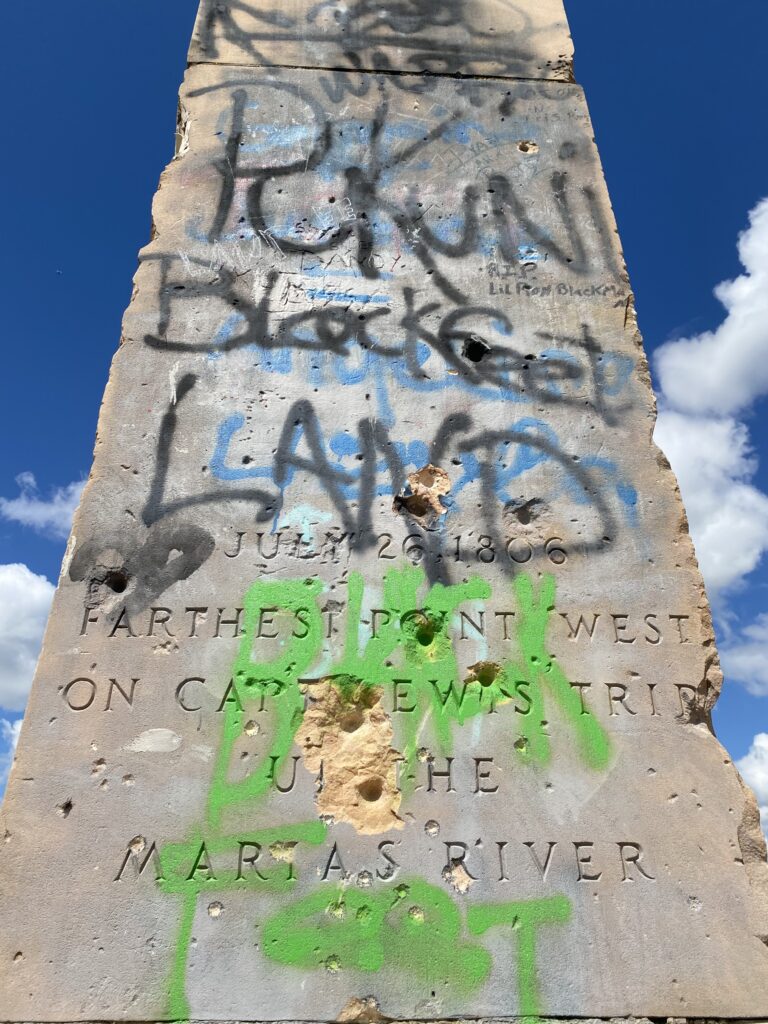
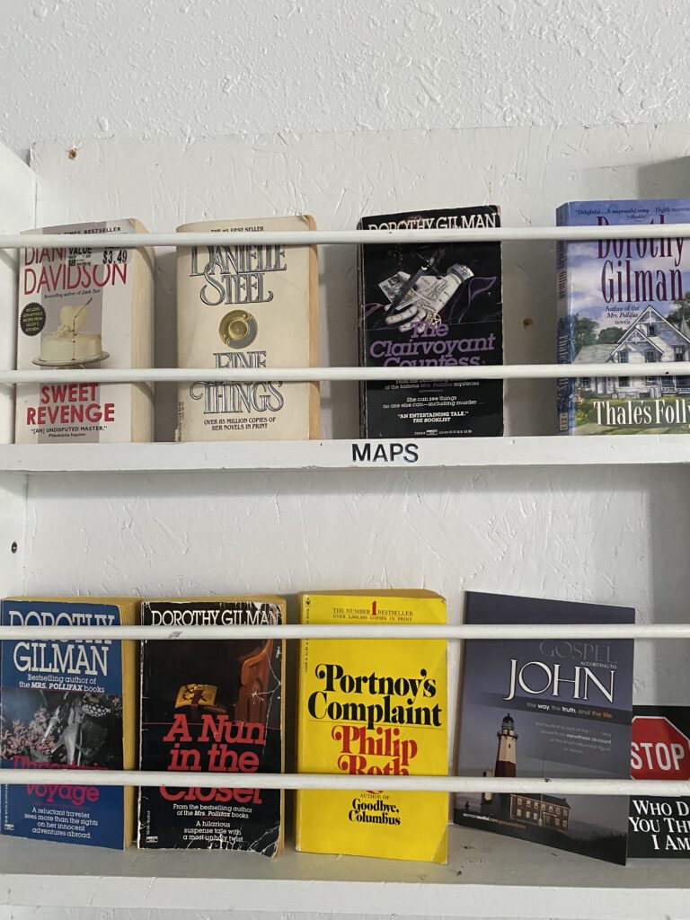
I’m solidly in Blackfeet country, and there a a number of historical markers about their history in this land and with the settlers, as well as about settlement/colonization. (Yes, I’m my father’s daughter, and I stop for every one of them.)

you think *you* were disappointed, Lewis; how do you think the other guy felt?
ah, yes, this is how
not a well-loved monument

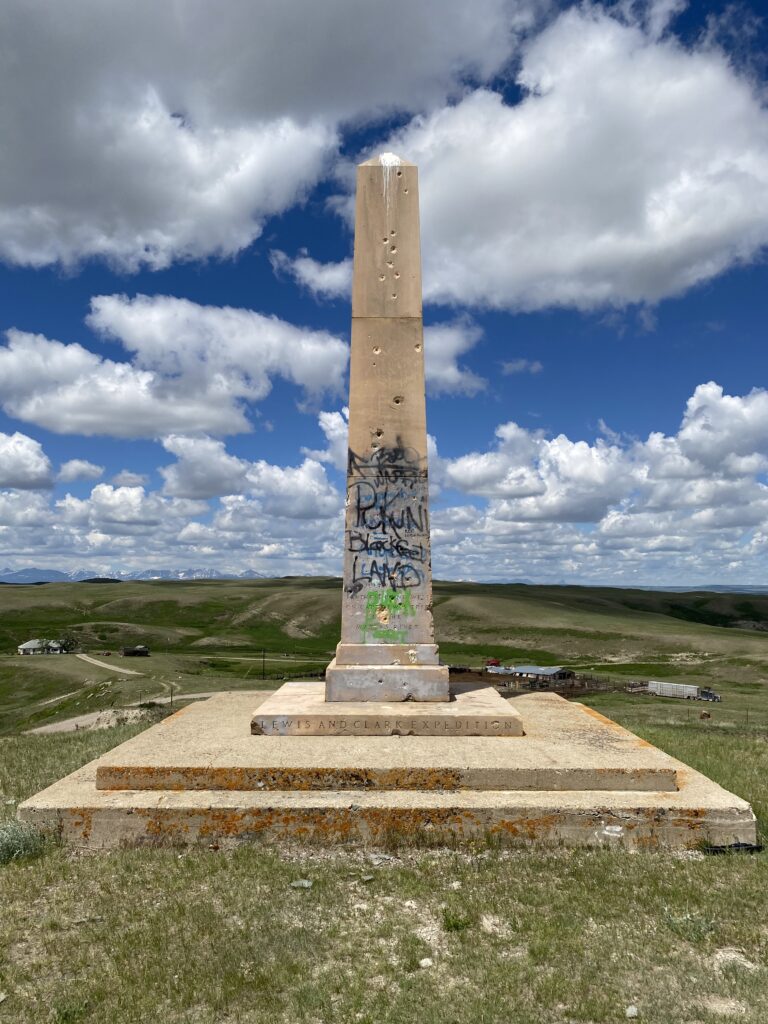
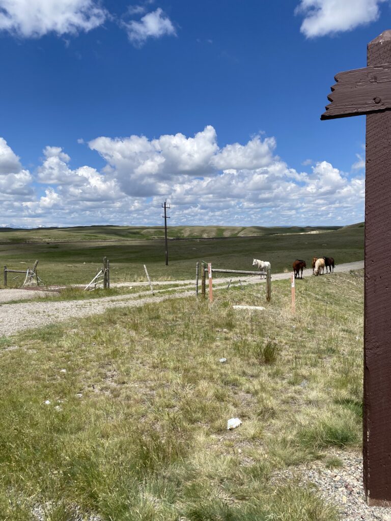
While I was looking at the monument, I saw some horses grazing in the field between the road sign and where I was. I noticed one detach from the others and wondered what was up, but shrug. When I headed back to where I’d leaned my bike, they seemed to take interest, and as I was starting to walk my bike to the path they suddenly got in formation and started trotting/charging at me. I booked, which is not easy to do while hauling a fully-loaded bike up an embankment. My heart was pounding with exertion and adrenaline by the time I got over the cattle grates, at which point the horses settled back to munching grass by the edge of the barbed wire enclosure, still keeping a wary eye on me. It felt … eerie.

The land rolled, and sometimes didn’t for stretches.

art?

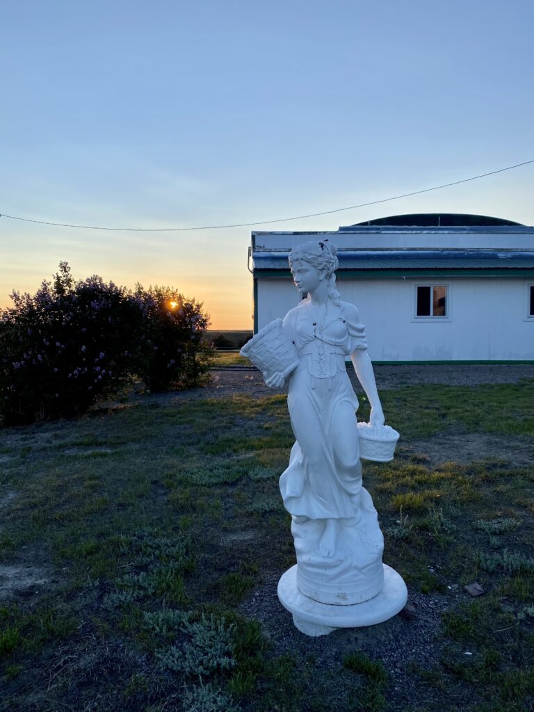
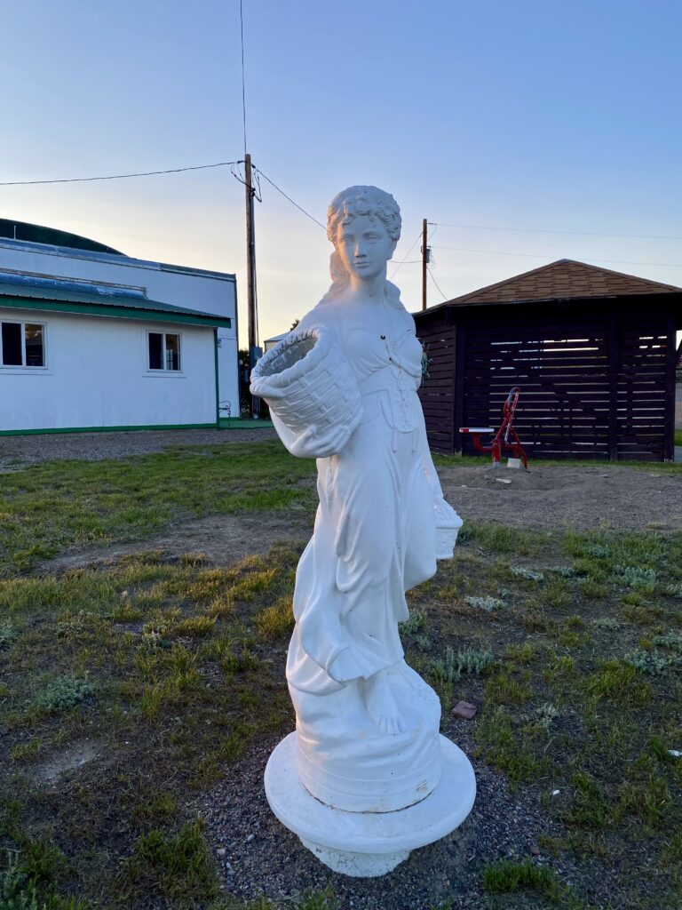
And then, after a slow climb up an enormous hill, I was in Cut Bank. My intended home for the evening, Sunset RV Park, looked pretty dismal on arrival, and I was already having a pep talk with myself, but then the owner showed me the rec hall and shower facilities, and I took a closer look at the grounds. Pretty sweet spot for the night after all.

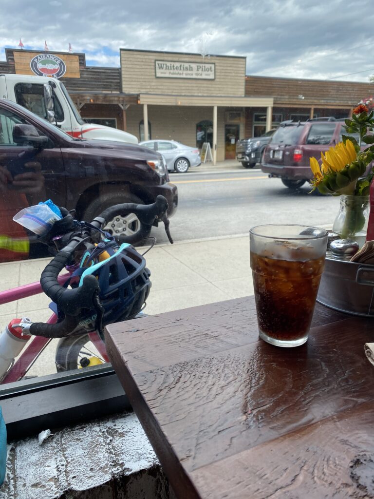
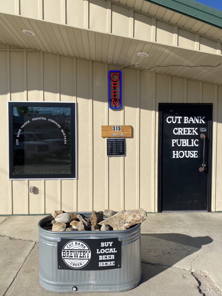
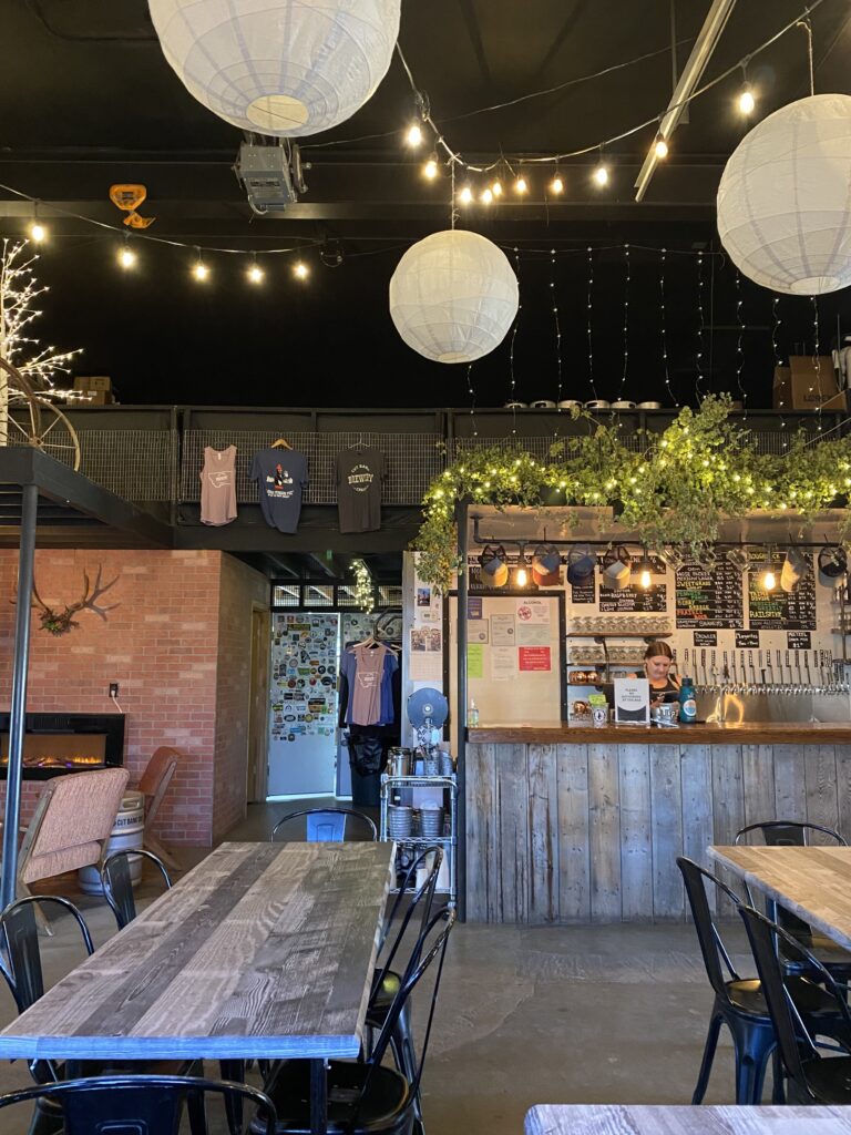
I set up camp and then headed out to the Cut Bank Brewery, which a cyclist at Brownie’s had mentioned and which I’d seen charmingly advertised with an old pick-up truck as I entered town. It was wonderful! I had locally-brewed Mexican lager and a hamburger with fries AND a salad, and listened to 70s and 80s hits in the dark and cool. Perfect.

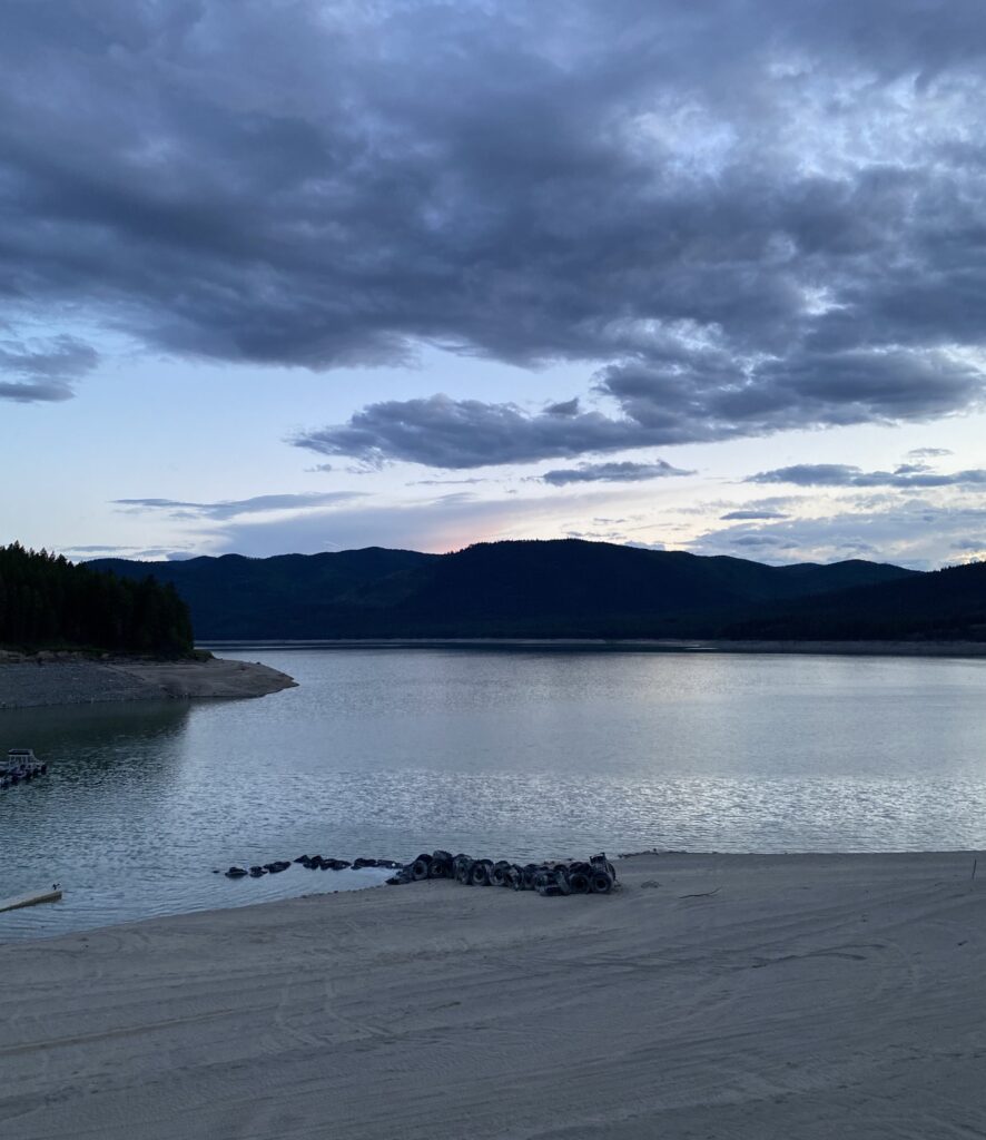
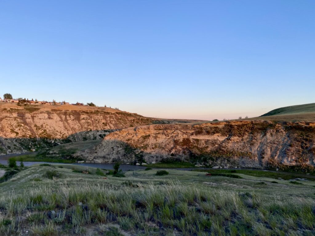
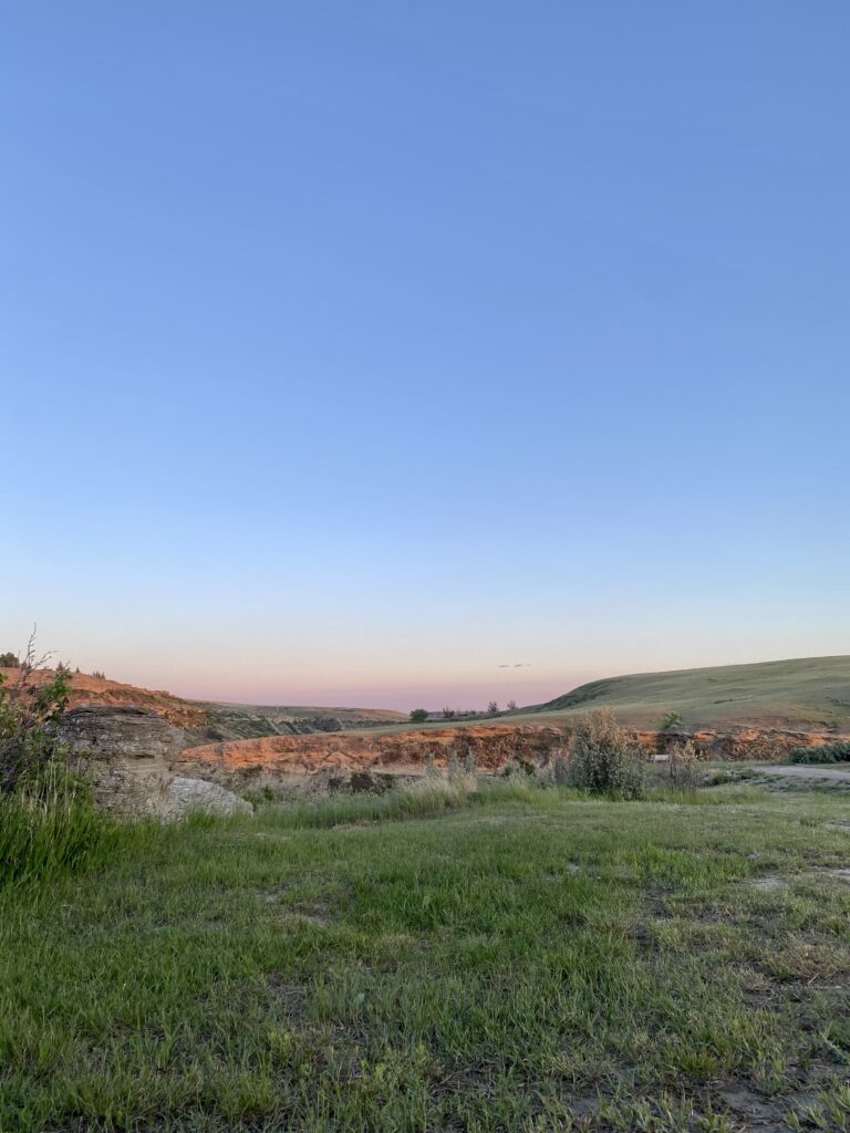
Back at the campground, I got in a long call with mom and wandered what turned out to be a little nature trail overlooking a hidden river, catching the last golden sun as it set.

Then it was lights out for all of us.

Leave a comment

Your email address will not be published. Required fields are marked *

Day 16. Apgar Campground (West Glacier) to East Glacier, 60 miles

I rode over the (lowest point on) the Continental Divide!

The ride from the fancy side of Glacier to the eastern side was attractive and heavily trafficked. I’m not sure if it’s always that busy or if it’s because Going to the Sun Road is closed, but it was pretty steady, with occasional minutes of respite. I thoroughly enjoyed what I suspect is my last water-feature-side snack break for quite a while. Sour Strips and a banana, yum.

Maria’s Pass, my last mountain pass until New Hampshire and Vermont, truly did sneak up on me. I’d been diligently tracking the mileage to the pass, but apparently I was six miles off. Or the maps or road signs were. But either way, suddenly I was there!


There wasn’t much down—I’m still high enough up that it’s cool through the whole day and I keep on my leggings—but it was lovely to know I’d made it through the western mountains. I mean, DAMN, I DID THAT.

East Glacier is depressing. It’s Blackfeet Indian country, as the faded sign announced, and it’s the last gasp of the Glacier commerce machine. Most businesses are shuttered; the only bar in town looked too shady to patronize, and the only restaurant had lines out the door. Friday night in East Glacier found me eating snacks for dinner accompanied by a PBR tallboy.

I used the wifi at Brownies’s Rustic Hostel to take care of some internet business, chatted with a west-to-east Northern Tier cyclist nearing the end of his trip, and headed to bed looking forward to being out of the Glacier orbit.

Leave a comment

Your email address will not be published. Required fields are marked *

Day 15. Columbia Falls to Apgar Campground (Glacier National Park), 23 miles

Honestly, I’ve been dreading this post a bit, because my experience of Glacier was so-so, which was a bit of a letdown. Not its fault! But it was not my favorite part of the trip by any stretch.

Today started early, with a reluctant 6:45 departure from Mel and Asher’s lovely haven. The ride into Glacier was beautiful: quiet, cool, verdant, and relatively flat. I wish I had been able to slow down and enjoy it more–I was rushing to get to the park by the 11 am cut-off and make sure I got one of the hiker/biker sites.

I arrived just after 9; the park wasn’t yet busy, with traffic just starting to pick up, and I had my pick of the three available sites. My campsite was really nice: wooded and a bit lower than and set back from the road; the ranger recommended it over the group site in the other loop, and when I saw it on my way to the showers there (only two, yikes!) I understood why–it was big and open and right on the road.

Soon after I got there another pair of cyclists showed up. They—Katherine and Tom from NC—are doing a stellar-sounding extended Northern Tier tour, with lots of stops for hiking and exploring. We chatted and shared notes for a while, including some well deserved shit-talking about US 93.

Settled in, I sat down with a map of the hiking trails. The park is enormous (3 miles from the entrance to my campground, which has its own “village” of stores and restaurants); I don’t think I had a sense of the scale of the thing. I got a bit overwhelmed trying to find a trail I could reach, park my bike at securely, and hike around, particularly given that I foolishly did not bring any sort of backpack. And biking on much of the main road—Going to the Sun Road—is prohibited for cyclists between 11 and 4. I talked to the rangers, who told me the campground near a trailhead out to a rocky outcropping would be a good spot to leave my bike in the ranger station.

Off I went! It was a few confusing miles to the nearby campground with park traffic now in full swing, but I found the ranger station and they were like “nuh-uh, we don’t hold bikes.” The ranger was kind enough to let me stash the bike in the netted employee break area across from the entrance booth and assured me someone would be in it at all times.

Glacier is beautiful, stunning. I bet one of the longer or more challenging hikes or a trip with a backcountry permit would be phenomenal. But my experience of it was … lesser. The trail was crowded, with occasional traffic jams near the best spots, and the chatter inane to annoying. “Oh was that the view? Not that impressive.”

It really harshes your mellow, you know? I found a few quiet moments, but they were brief. Some kind folks did, after happening on me trying vainly to commune with nature, offer to take my pictures, so we have this proof I was there. I made a loop then headed back to my (still there!) bike.

dork

The quietest place at that time of day was the campground itself, so I enjoyed the tranquility for a while, then made my way to the showers, and did some bike cleaning and maintenance.

The wind was pretty stiff by late afternoon, and Katherine and Tom decided to delay their trip up Going to the Sun Road until the next day. I had already mentally nixed it; I admit I was not excited about—this is going to sound strange—riding up a mountain for fun.

The creatures—birds, deer, chipmunks—are so cheeky and bold at Glacier! They fear no man; while Katherine and I were chatting a chipmunk nearly ran across her foot, and a deer wandered into my site at some point to sample my foliage and seemed annoyed at the incursion when I returned from the bathroom.

sorry, bro, I live here today


Dinner was a new addition to the beans and rice routine; at Andrew’s recommendation I tried Chef Boyardee for the first time. Yum! So much sodium! I bedded down with my Kindle and was out almost immediately. The library e-loan approach is not going to work if I can’t get through a book before it’s due.

Leave a comment

Your email address will not be published. Required fields are marked *

Day 14. North Lake Dickey Campground to Columbia Falls, 50 miles

Today was a day of mostly terrible riding and stellar everything else. It did not start auspiciously. I’d set my tent up in a lovely spot chosen for its view of Dickey Lake; I noticed that the site was exposed to the chilly headwind that had hindered the last third of my ride, but since I was just going to be getting into the tent it didn’t seem like it’d be much bother. Now as I woke up, that same frigid wind was rocking the tent and making getting out of the sleeping bag a truly unappealing proposition. I could also hear across the lake the early morning roar of US 93 starting up, which was a double bummer because that was the road I was to be on for a good stretch of the morning. But the road don’t care and the weather don’t care, so I packed up my current life and was on the road at 7.

Spoiler alert: the headwind was not so bad at all, likely mostly wind off the lake; US 93 was deeply unpleasant. Generally speaking I keep my eyes on the road in front of me (for debris, obstructions, cracks, shoulder drop-off, etc.) and my ears on the road behind me. The latter isn’t available on downhills with the wind rushing in your ears and on busy roads with the constant approaching and receding roar-whine of traffic; you have to rely entirely on the drivers behind you–just grit your teeth and try to ride steady. So I did, even though I think we all agreed that me being there was not in anyone’s best interests. And after 20+ miles of that, as we neared Whitefish. I was rewarded with a seven-mile turnoff to the less trafficked Farm to Market Road, presumably named for its earlier function. More on that in a minute. I took the first chance to have a sit by slow-moving Stillwater Creek and enjoy some snacks (dried apricots, mini frosted fudge pop tarts, hard-boiled egg) and the relative quiet.

Stillwater Creek being relatively quiet

When the mosquitos got too interested in me I moved on and quickly learned why there was more heavy traffic than I’d expect from a detour: real estate boom. The once farms were being torn up, earth-moving equipment everywhere, and houses and townhouses being erected in clusters and luxury singles. I wonder what it will look like in five years.

I spotted my first yellow-headed blackbird (that’s both a succinct description and its name), which was very cool—such a striking bird!

Back onto US 93 for a miserable few miles, and then I rolled into Whitefish and stopped at the first cute cafe I saw and got a fancy omelette with the potatoes AND the greens. LUXE.

what a view

The lovely server let me sit for two hours and charge things and write a post and catch up on texts with folks; I hadn’t had real service for days and mostly had my phone in airplane mode to save battery. Shelby’s friend Mel had invited us to stay with her and her family in Columbia Falls–about another 10 miles on–and was kind enough to keep the invitation open when Shelby couldn’t join. It would get me closer to Glacier, which I needed to enter by 11; cyclists aren’t permitted on much of the main road through the park between 11 and 4. And Whitefish was a little overwhelming: traffic, license plates from all over, enormous campers, so many people. So having refreshed my spirits, I jumped back on the road for a much quieter and more pleasant ride to Columbia Falls.

And then I was at Mel and Asher’s house and met Fuzzy, whom I loved immediately and who loved me (and any attention-giver, I subsequently learned) with equal ardor, and several cool backyard chickens. Mel and Asher have the most lovely home and a perfect, cozy guest bedroom. I was ready to ditch the trip and beg to move in.

chickens are such dorky little cuties
Fuzzy loves me
stinking up the place
my room for the night! ❤️🧡💛💚💙💜

Then they came home with their adorable son Theo, and they made dinner and we sat on their back deck and talked and drank beer, and it could not possibly have been lovelier. Like with Steve and Judy, it felt like meeting friends. We stayed up past my bedtime and then I got into a bed with a cat curled up at the foot. Sometime in the night he went to be with his real people, but around 4:30 he came back in and snuggled in my arms until I had to get up a bit after 5. DREAMY. Did I mention shower and laundry? The whole evening was so fun the two usual standouts paled in comparison.

🖤

Leave a comment

Your email address will not be published. Required fields are marked *

Day 13. Koocanusa Marina & RV Park to North Dickey Lake Campground, 65 miles

It was hard to leave the campground this morning! Maybe it was the tequila; maybe it was trying vainly to dry my tent in the cool early morning from the brief light rain I’d woken to around 11:30; maybe it was emailing with Andrew as I tore myself away from the wifi. (Tech mystery: why can’t I text Andrew over wifi?) Also the sunrise was lovely. In all cases, I didn’t get out of there until just after 8.

I continued north up Lake Koocanusa for the first half of the day, with lots of long but not terribly steep climbs and some pleasant downhills—the sort you can enjoy while taking in the scenery.


I took a break in the late morning when the sun came out to dry my tent and eat some snacks at the entrance to Peck Gulch Recreation site.

While I was sunning myself and my things, the camp hosts came up the road headed out to town; they were kind folks from Bellingham, WA who shared at some length intel about the “gnarly” ride I had ahead of me, including a detailed recounting of each climb, descent, and re-climb I’d be experiencing today. ”And then there’s a nice long downhill to Sutton Creek, but you know how that goes…”

One of the hills they referred to as Climbers Hill, which I assumed referred to, well, how one got up it. I didn’t realize until I was cresting it and wondering about the cars parked on the side of the road and the voices I heard from nowhere that they meant rock climbers. OHHHHH. Apparently you can just climb on it? Which seems weird because the debris littering the bottoms of the rock walls and all the tiny stones everywhere are clear evidence of the mountain’s constant active erosion toward a non-mountainous state. They are always shedding. When the road was quiet enough I could sometimes hear rocks pinging down the hillside below me, though fortunately not above me. I could also hear this odd noise the guardrails (guardrails: they’re back!) sometimes made. Maybe wind? Maybe contraction and expansion of metal?

sound on, otherwise you will have no idea why I’m sharing this video
can you see the eagle taking off up there?

In the afternoon I reached the Lake Koocanusa Bridge, which, like Libby Dam, was brought to you by the US Army Corps of Engineers. I didn’t get a shot of the bridge because I was whizzing downhill toward it, but I spent some time on it just marveling.

And then, sadly, I turned southeast (told you there was a lot of going around) away from the lake and into a headwind. At Eureka, the first real town since Libby, I stumbled happily on a Subway and got myself a perennial tour favorite, a veggie sub stuffed with every vegetable they have. Greens!

I fought the headwind as I made my way to camp, arriving on the later end, nearly 7. Looking at the day’s ride I realized why it had been so slow: 4000 feet of climbing. I’m back around 3000 feet now (haven’t been below 2000 for several days) as I approach Glacier and my last real climb until the east.

I set up camp overlooking Lake Dickey and crawled into my tent to escape the chilly wind and get cozy. And by that I mean fall asleep immediately.

campsite view

Leave a comment

Your email address will not be published. Required fields are marked *

Day 12. Dorr Skeels Campground to Koocanusa Marina & RV Park, 55 miles

I woke up a little late on MY BIRTHDAY: slept in until 6 (!) after crashing out at 8:30. I greeted the morning overlooking Bull Lake, watching a duck trawl for tasty snacks (me too, duck buddy!).

ignore the awkward zoom please
this is what 46 looks like, apparently

I got a beautiful, quiet morning of riding for my special day. Eastern Montana is just gorgeous so far: snow-capped peaks to the north, forested rolling mountains to the south, and me on some sweet, lightly trafficked, flat to rolling roads. The weather remains cool; even when it’s sunny, the air is chilly, and I find I don’t take off my leggings until early afternoon. This is some seriously pleasant riding weather.

my morning ride accompaniment

I think I’m starting to recognize one or two bird calls, which is satisfying. I’m picking up lots of western wildflowers for sure.

There are many white crosses on the side of the road since I got to MT. I’m not sure who installs them; they have no names, and most aren’t decorated, though some are festooned with silk flowers, signs, and small trinkets. I’ve seen singles, pairs, and in one heartbreaking instance, five, each individually and lovingly decorated.

In the late morning I arrived at Kootenai Falls. The crowded-looking parking area turned me off, and I thought about passing it by, but a waterfall! I can’t pass up a good waterfall. I‘d be a fool. So I stashed my bike behind a sign and made the short hike–maybe 3/4 mile from the road. I skipped the swinging bridge attraction, instead making my way up the falls themselves. This turned out to be an excellent choice; the area was totally deserted, and I got to commune with the falls (i.e., stand around gawking) in total peace.

I love massive volumes of water rushing over rocks

After leaving the town of Libby—very limited services next 63 miles, the map helpfully warns—I met up with Lake Koocanusa (KOOtenai, CANada, USA. Seriously.) and began riding north up it. Yes, I know north is not my primary direction; there’s a lot of going around things in the mountains, I’ve learned—none of your midwestern straight lines out here. Shortest distance between two points is NOT APPLICABLE. The climbing started again, with some steep babies as I approached and left behind the Libby Dam, a massive dam in the lower part of Lake Koocanusa.

those are the railroad tracks! I was down there with them like 10 minutes ago!
Libby Dam. The photo stinks because I can’t capture the whole massive thing in one shot.
somewhere above the dam

I’d thought to do a longer day to a USFS campground, which looked lovely but had no showers. The closer marina & RV park was sure to lack charm, but I wanted a birthday shower, so I decided to take the short day. This was 100% the correct decision. Koocanusa Marina & RV Park was tops and turned out to be something of an oasis in that 63-mile stretch of attractive but amenity-free road.

I was the only tent camper and so got a perfect site (in a totally separate area from the RVs, deserted but for me and the birds) overlooking the lake and a very short walk from the camp store, shower house, and … wait for it … bar and grill. A BAR AND GRILL. I had salad and a chicken sandwich with tater tots and a shot of tequila and a couple of Coronas. I sat for three hours and charged all my items and wrote a post and dashed off a few postcards and avoided getting in the conversations about politics that occasionally cropped up as (very few) people came and went. I stayed there until nearly 10! Birthday shenanigans.

I walked back to my tent, checked out this view from the site, and crashed out feeling great.

good night, Lake Koocanusa

Leave a comment

Your email address will not be published. Required fields are marked *

Day 11. Sandpoint, ID to Dorr Skeels Campground (outside Troy, MT), 70 miles

New day, new state! Welcome to Montana, folks. It’s a hands-off kind of state.

welcome to Montana?

It was hard saying goodbye to the Yorks this morning, as well as to Luna, who snuggled with me in the early hours of the morning, and Coco, who is perfect at being loved. But they fueled me up with a pizza dinner and great conversation, gave me route counsel and coffee (with COCOA in it, y’all!), and the morning’s riding was grand. I spent much of it near but above the railroad (yay!) looking out at Lake Pend Oreille, and life was good.

Eastern North Idaho is kind of a dream, riding-wise: beautiful views, quiet roads, cool weather. I don’t have a complaint to register. At some point I thought my phone was buzzing behind me, which was odd because it was in my bar bag with the volume on. Turns out it was a cow lowing.

The wildflowers have turned to hairy vetch (it looks prettier than it sounds—what is a vetch, even?), yellow salsifies, and long-headed poppy. Still largely yellow and purple, perpetuating the mystery first uncovered with Joyce while observing midwestern ditch weeds: why are most wildflowers purple, yellow, and white? Entertaining theories (and even facts!) in the comments.

Clark Fork was an excellent resupply stop, meeting all my needs from Cow Tales to apples to Jack Daniels. The town store even had a book exchange, and I wished I had an excuse to take advantage, but given that I’ve made it maybe 30 pages into my Kindle library loan I … didn’t. The 9 p.m. involuntary bedtime is real, y’all.

I was on mostly lightly trafficked roads today, generally flattish or rolling. I found myself for the most part unbothered by the slow top third of the up-rolls; the fact that I knew they’d be over quickly and not just lead to a switchback and more climbing made them wholly tolerable and even an enjoyable change of pace at times. (Enjoyable: maybe an exaggeration. Fine? Not hateful?) And for long stretches I found myself on the ”old highway”—generally above the water, railroad tracks, and new highway, and as such nearly entirely deserted.

I’m up here

Nothing on the elevation profile intimidated me (!!!!), so I took it slow, with lots of breaks to sit and contemplate the snow-capped peaks to the north and the forested rolling mountains to the south. And to shove snacks in my face: sour strips, bananas and Reeses Peanut Butter cups, and hot and spicy Cheez-Its were some of the selections du jour. Also string beans! Mom!

I love being around all this water–Pace Creek, Bull River–and I know I won’t have it for quite a while through the plains, so I’m getting while the getting is good.

Cabinet Mountains Wilderness

nice, right?

Dorr Skeels was a terrific USFS campground (despite the lack of showers, which is saying a lot!), with a site overlooking Bull Lake and only one other site occupied (by a hydrology student from Marquette, MI who inspected my set-up and pronounced it ”sick”).

campsite view

Today, I must say, was a good day.

Leave a comment

Your email address will not be published. Required fields are marked *