Today it got real hot for the first time. It was 47 when I woke up, but by 9 everything I’d hand-washed in the sink that morning was fully dry. This is my last day of being fooled into wearing leggings, only to have to stop by the side of the road and take them off an hour later. I’m in hilly plains right now, which means rolling terrain and no shade.
Leaving Chester I made sure I was stocked with water and snacks; there didn’t look to be much at all until Havre. (Did I ever mention that when I picked up my bike by the ranger station in Glacier after my hike, the ranger told me she was impressed with my water set-up? Four water bottles, baby! Joyce knows why.) So when the first town, Inverness, popped up advertising a place of commerce, I decided to turn off and take a try on refilling my one empty. This turned out to be a brilliant decision, because one of the place’s two businesses was a post office. (The other was the tire shop/auto parts store where I bought water and used the bathroom.) I was now out of bear country, but I’d been in Cut Bank on Sunday and left Chester before business hours, so I was still hauling around the bear vault and bear spray, the former being lousy for aerodynamics in wind country. The post office was open for full service (kind of a miracle to me—Joyce and I have seen so many post offices that have window hours maybe half a day a week), and the sweet woman working there dug up a used box in back for me to send the items (and my second map!) home in. She also told me she’d heard the rioting had destroyed Portland’s and Seattle’s beautiful downtown areas, and I assured her that Seattle was lovely as ever during my recent visit.
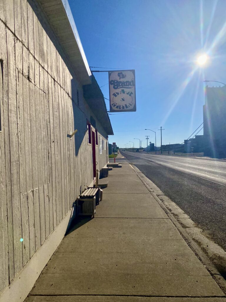
Less burdened, I rolled on through the morning passing many towns and former towns of varying degrees of funct-ness: Joplin (actually came before Inverness, but no commerce), Rudyard, Hingham (yay Spencer’s Bar & Grill!), Gildford, Kremlin. Maintaining proper hydration becomes a real balancing game on a reasonably trafficked road with no commerce and no trees. There were no bathroom opportunities between Hingham and Havre, 35 miles.
When I first left Glacier, and the land turned to grasses, I saw a few enormous industrial farms, with huge, freestanding grain silos towering over endless miles of fields. But as I’ve moved east the farms have gotten smaller and more human-sized, and the grain elevators and railroad stop are in town, with the town clustered around them. You can always tell when a town is coming because there’ll be a line of trees (wind break!) on the horizon and the shiny metal cylinders of grain storage. I haven’t yet seen any water towers yet.
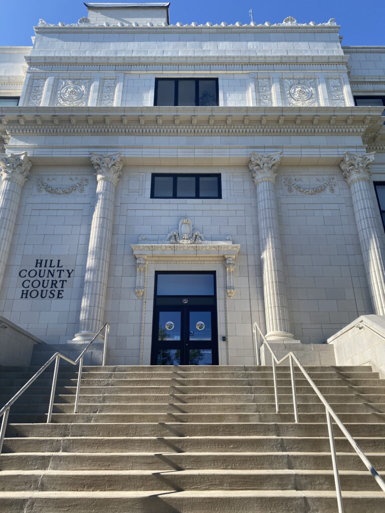
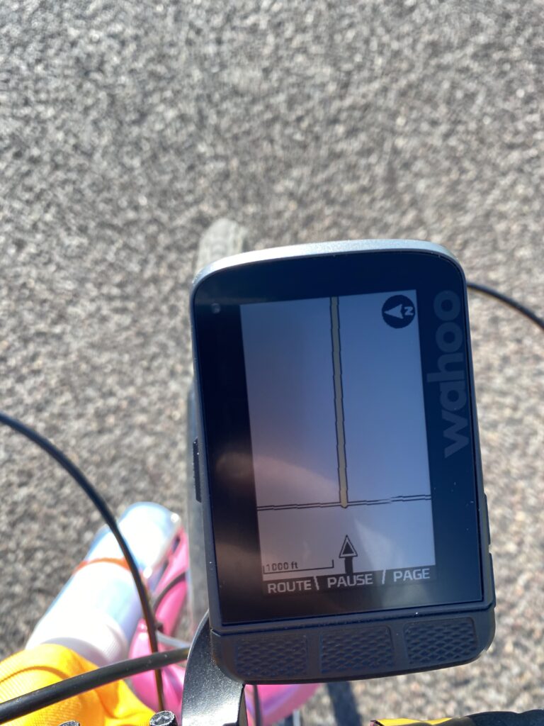
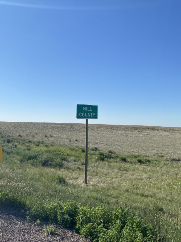
Okay, a weird thing. I mentioned yesterday that going off-book was unnerving, but I’d still been running my ride on the nav device, and I could see the roads on the device map. Well, as soon as I entered Liberty County, the maps stopped. Suddenly my ride was floating in nothingness, the space of the plains, and it was creepy. I entertained various theories about why this might have happened (did they refuse to turn in their maps!?) and whether my map world would ever be restored. The second mystery was resolved with my departure from Liberty and entry into Hill County.
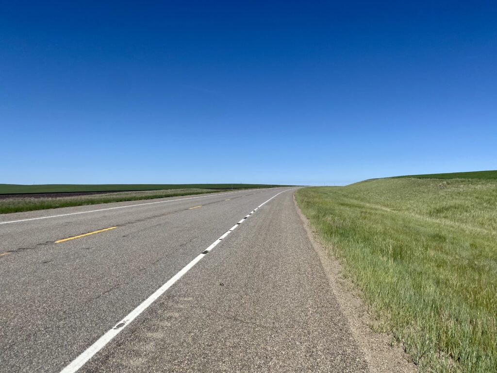
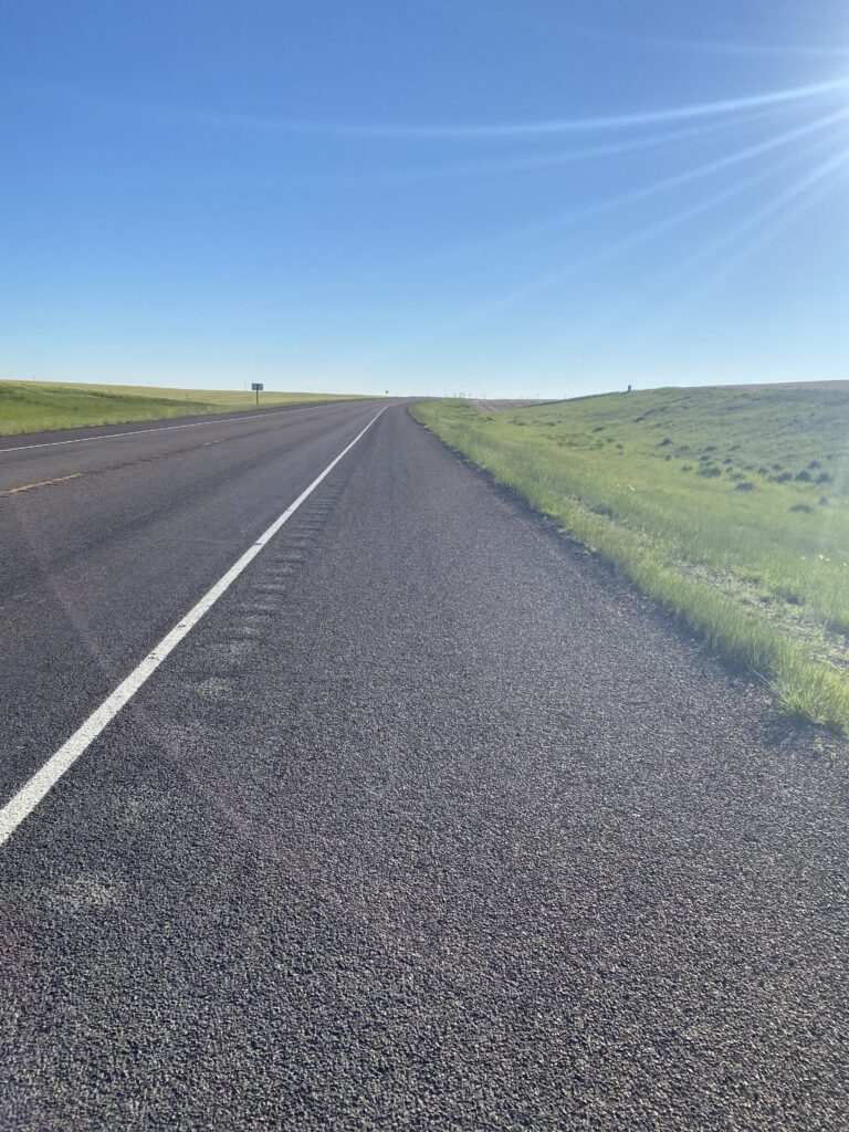
Sometimes the shoulder was like this:
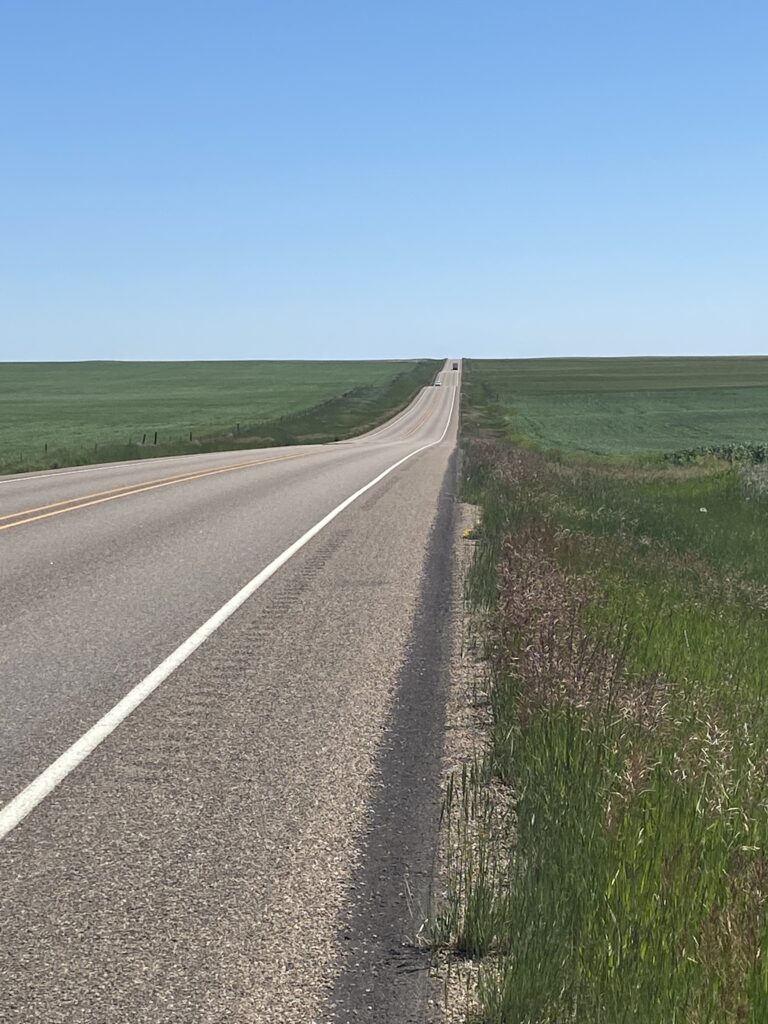
And sometimes the road was like this:
The lack of shade was real. I spent one rest break with my bike leaned against a mile marker, squeezed into the short midday shadow of my panniers. There’s a lot of midday when the sun rises at 5:15 and sets at 9:15.
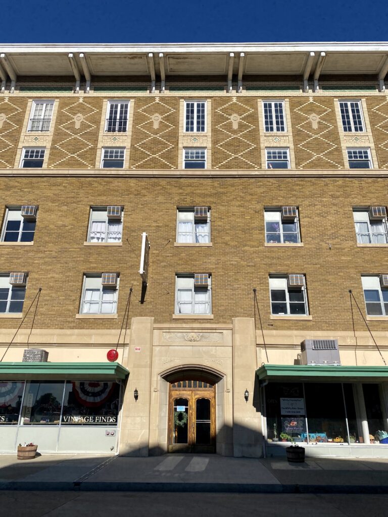
And then I was in Havre, whose county fairground where I’d planned to camp looked like a scorched airfield in the 92-degree sun, so I moved on to the cheapest motel in town, the charmingly dated Siesta Motel, and got Mexican for dinner (!) and wandered the town’s historic district.